Fall Escapes on the Byways and Blueways of the Blue Ridge
As the humidity finally gives way to cooler temperatures, fall colors emerge throughout the peaks and valleys of the Blue Ridge. If you’re looking for a scenic escape to do some leaf peeping at a safe distance, we have routes for colorful exploration via roads, trails, and waterways. Follow one of these byways and blueways of the Blue Ridge to create the perfect autumn adventure.
Ocoee Scenic Byway, Tenn.
Distance: 26 miles
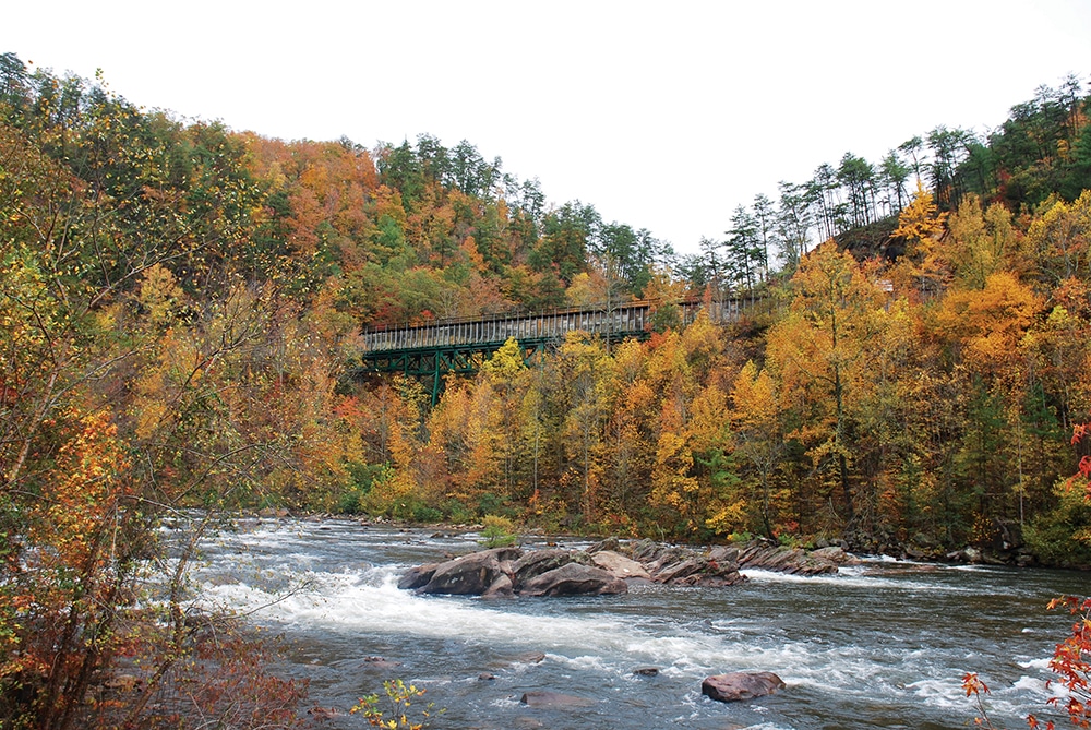
Highlights: Take the Ocoee Scenic Byway through Cherokee National Forest, the first designated national forest scenic byway. Stop at one of the overlooks for views of the Ocoee River Gorge, Sugarloaf Mountain, and more as you drive up Chilhowee Mountain. Get out of the car and stretch your legs at Parksville Lake for boating, swimming, and picnicking. The Chilhowee Recreation area has 25 miles of hiking and biking trails, views of a waterfall, and a campground. In the warmer months visit the Ocoee Whitewater Center, where you can paddle class III and IV rapids at the site of the 1996 Olympic canoe and kayak slalom course.
Alternative Route: Head westward and hop on the Tennessee River Blueway. You can paddle more than 45 miles through downtown Chattanooga and the Tennessee River Gorge as you take in the fall colors. There are a number of access points and campsites along the way, including Maclellan Island and Prentice Cooper State Forest, if you want to turn this into a multi-day trip.
Southern Virginia Wild Blueway, Va.
Distance: 100+ miles
Highlights: Traverse three rivers—the Dan, Staunton, and Banister—and two lakes—Kerr and Gaston—on the Southern Virginia Wild Blueway. Along the way, you will pass through waterfront towns, with plenty of places to stop for a bite to eat, and undeveloped land to make this a peaceful, secluded trip downriver. The many surrounding state parks and public lands provide opportunities for hiking, fishing, and camping. Turn your eyes towards the sky at Staunton River State Park, a designated International Dark Sky Park with telescopes to rent and interpretive programs.
Alternative Route: Whether you’re driving the 16-mile state highway in the spring when the rhododendron are in bloom or in the fall as the leaves turn a brilliant red, Big Walker Mountain Scenic Byway offers stunning views of the mountains and valleys of Jefferson National Forest, including Mount Rogers. Keep a lookout for eagles, hawks, and other birds of prey as they migrate through the area in the fall.
Ridge and Valley Scenic Byway, Ga.
Distance: 50.7 miles
Highlights: Drive the Ridge and Valley Scenic Byway as it loops through the mountains of north Georgia. Take a short walk to see the falls at Keown Falls Recreation Area or hop on the Pinhoti Trail for miles of climbs and descents. Hike or bike the trails at John’s Mountain Wildlife Management Area or spend the night at the Pocket Recreation Area surrounded by the changing colors.
Alternative Route: With 17 ramps, explore 48 miles of the Chattahoochee River National Water Trail, the first designated national water trail, by boat. This river, with a few shallow sections, stays cool year-round and is a great spot for cold water trout fishing. You could spend days exploring all of the stops along the way, including the Buford Trout Hatchery, Chattahoochee River Environmental Education Center, and Chattahoochee Nature Center, as well as several parks with riverside picnic spots.
Midland Trail, W.Va.
Distance: 180 miles
Highlights: Road trip across West Virginia as you take in the state capital, river valleys, and more from the Midland Trail. At the New River Gorge, hikers, mountain bikers, climbers, and paddlers alike will find plenty of options to keep them occupied. View the fall colors at the gorge from the aerial tramway at Hawks Nest State Park. Snake around 156 turns as you cross Sewell Mountain. Or take in the tranquil scene at one of the 12 waterfalls along the route, including Kanawha Falls.
Alternative Route: If you’re really looking to get into the woods, the Greenbrier River Trail offers a getaway without access to cell service in this National Radio Quiet Zone. Experience fall along this 78-mile stretch of gravel rail trail however you prefer. Hike or bike the trail as it follows the water or paddle sections of the river. Be sure to check water levels as the river can quickly become unrunnable.
Upper Saluda River Blueway, S.C.
Distance: 120+ miles
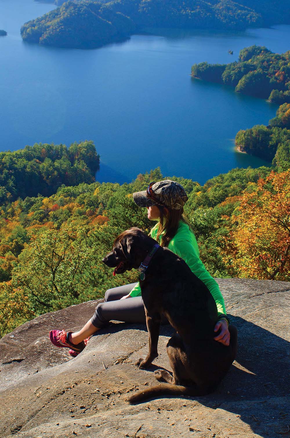
Highlights: Float the Upper Saluda River Blueway past hardwood forests and farmland in upstate South Carolina. Most sections are doable for beginner paddlers with a few granite outcrop shoals that require more technical maneuvering. Choose to start at the south, middle, or north fork of the Saluda River and incorporate a number of additional recreation opportunities. Caesars Head and Jones Gap state parks and Pleasant Ridge Park offer over a hundred miles of hiking and biking trails, several waterfalls, fishing spots, and river access. While you paddle, watch for blue herons, ospreys, bald eagles, largemouth bass, and more. Stop for lunch at Irvin Pitts Memorial Park and enjoy a meal by the water. Be prepared to portage dams along the way.
Alternative Route: Discover 118 miles of the foothills of the Blue Ridge Mountains along the Cherokee Foothills Scenic Byway. This route is full of excellent fishing spots, towering waterfalls, and beautiful overlooks. For side trips, there are 10 state parks just off the byway or within a short driving distance. Make sure to check out the views at Table Rock State Park or get on Lake Jocassee at the only public boat ramp at Devil Fork State Park. Just off the byway, walk across Campbells Covered Bridge, the only remaining covered bridge in South Carolina.
Mountain Waters Scenic Byway, N.C.
Distance: 61 miles
Highlights: Pack a full day into driving the Mountain Waters Scenic Byway through the Nantahala National Forest. View the three major waterfalls—Cullasaja Falls, Dry Falls, and Bridal Veil Falls—as the Cullasaja River drops through the gorge. Take a side trip to Wayah Bald and the historic fire lookout tower at the summit. Water lovers of all kinds will enjoy getting on the Nantahala River, whether for whitewater rafting or trout fishing, or boating on Fontana Lake. Take one of the many trails off the road to explore more of the area’s color.
Alternative Route: No matter your skill level, paddle a section of the French Broad River Paddle Trail through the mountains of western North Carolina. With several access points and camping spots along the way, you can go for an afternoon or a few days.
Red River Gorge Scenic Byway, Ky.
Distance: 46 miles
Highlights: From the soaring sandstone cliffs to the naturally carved stone arches, experience the geological wonder from the Red River Gorge Scenic Byway. Make sure to have your lights on as you drive through the Nada Tunnel, a one-way section of the road that leads into the gorge recreation area. Extend your trip with the extensive rock climbing, canoeing, and backcountry camping options in the area. Or hike the Sheltowee Trace National Recreation Trail for more than 300 miles. Just down the road, take in the grandeur of the Daniel Boone National Forest along Zilpo Road with stops for the Tater Knob Fire Tower, Clear Creek Iron Furnace, and Cave Run Lake.
Alternative Routes: Paddle the Green River to experience fall in Mammoth Cave National Park. Experience the abundance of wildlife in the national park as you take in the dramatic bluffs and surrounding landscape inhabited by turkey, deer, reptiles, and beavers. Stop at one of the small islands along the way or find a spot to go swimming.
Mountain Maryland Byway, Md.
Distance: 193 miles
Highlights: Make your way through the mountains and valleys of western Maryland on the Mountain Maryland Byway. You will have several chances to view the fall colors over water at one of the parks along the route. Start off at Maryland’s largest lake at Deep Creek Lake State Park for public boat ramps and miles of trails. When it opens again, explore the Discovery Center to learn more about the local ecology. Stop off at Swallow Falls State Park to view the 54-foot waterfall or head to Big Run State Park for some paddling and fishing on the Savage River Reservoir. Finish at Dans Mountain State Park for sweeping panoramic views of the area. You can also take a side trip on the C&O Canal, with 184 miles of gravel trail as the former railway line follows the Potomac River, the perfect fall biking route.
Alternative Routes: Follow the Monocacy Scenic Water Trail for 41 miles of fall scenery as you pass by historic towns, battlefields, and parks. You can view Michael’s Mill, a gristmill built in 1739, on a bluff overlooking the river. Stretch your legs at the Monocacy River Natural Resources Management Area for some hiking and fishing. This river is best run in the late fall, spring, or early summer.
Lookout Mountain Parkway, Ala., Ga., and Tenn.
Distance: 93 miles
Highlights: From Gadsden, Ala., to Chattanooga, Tenn., the Lookout Mountain Parkway takes you through three states dotted with opportunities to view the changing leaves along the way. Drive along the rim of the Little River Canyon Natural Preserve, a 700-foot-deep gorge with exciting paddling and rock climbing opportunities. The rugged terrain at Cloudland Canyon State Park gives visitors panoramic views of the mountains, ravines, and waterfalls from 64 miles of trail. Take the passenger railway to the top of Lookout Mountain on a clear day for views of seven states. While there, view Ruby Falls, the tallest underground waterfall open to the public.
Alternative Routes: The Alabama
Scenic River Trail offers more than 5,000 miles of paddling from the northern part of the state to the Gulf of Mexico. The 650 miles of the Alabama River make up the core section of the route starting at the Alabama-Georgia state line. Discover any number of recreation opportunities along the way, from parks and preserves to historic Southern towns. You’ll find outfitters along the way to help you get on the water.
Laurel Highlands Scenic Byway, Penn.
Distance: 68 miles
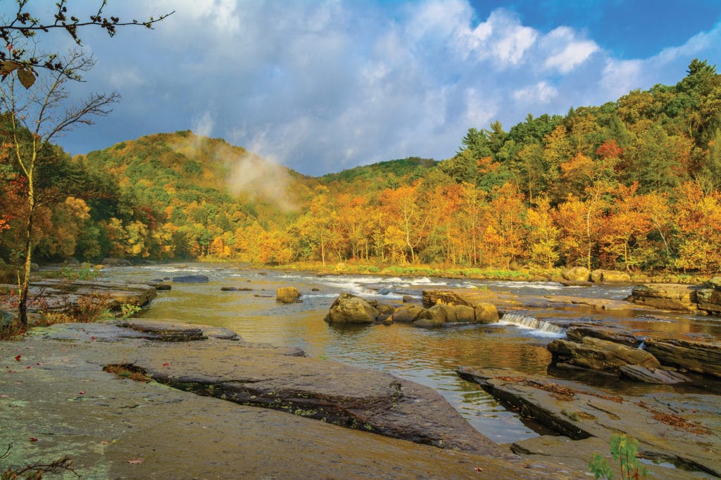
Highlights: Journey through southwestern Pennsylvania on the Laurel Highlands Scenic Byway. Hike part, or all, of the 70-mile Laurel Highlands Trail featuring sections of rugged, steep terrain starting at Laurel Ridge State Park. Stop and marvel at Frank Lloyd Wright’s Fallingwater, a house notable for its relationship with nature.
More options abound at Ohiopyle State Park, including hiking, biking, and climbing, as well as access to a section of the Great Allegheny Passage. The park also holds the Youghiogheny River Gorge—a popular spot for class III and IV whitewater rafting—and multiple waterfalls, including the stunning Ohiopyle Falls from the accessible observation deck.
Alternative Routes: Paddlers of all backgrounds will find something on the 72-mile Lehigh River Water Trail. More experienced paddlers will enjoy the northern section of the river, starting at Lehigh Gorge State Park, with a few class III rapids and fast moving water. As the river widens, paddlers looking for more of a leisurely trip can float the southern section as the Lehigh River flows into the Delaware River.
Please check local guidelines and regulations before making plans to get outside. Check locations to make sure access is open to the public. Remember to practice social distancing guidelines, wear a mask, and respect others’ health.
