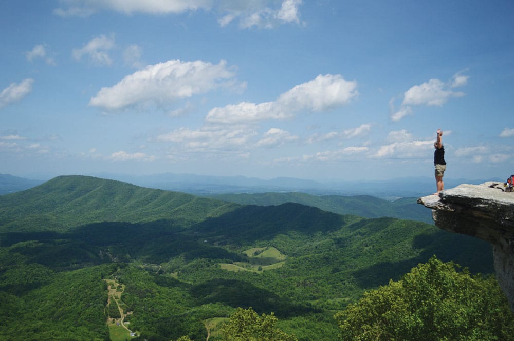
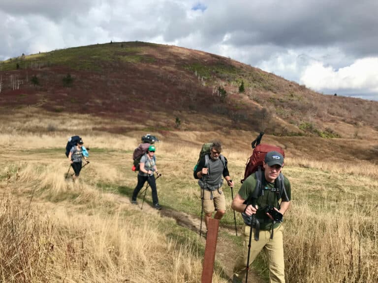
Steep climbs and stunning spring views are all part of the experience on these four Blue Ridge backpacking treks, which will take you along the most scenic ridge lines of the Southeast.
Black Mountain Crest Trail, North Carolina
Difficulty: Strenuous
Length: 11.3 miles one way
Trail type: Out-and-back or shuttle
Located along the ridgeline of the Black Mountains, just east of Burnsville, N.C., the Black Mountain Crest Trail (BMCT) offers a serious challenge, even for experienced hikers. The trail begins at 3,100 feet in elevation at Bowlens Creek and quickly ascends to the 6,700-foot summit. The thick rich cove forest that the trail begins in quickly turns to high elevation spruce-fir within the first three miles. For the majority of the trail, you can expect technical hiking along the narrow, rocky spine with panoramic views of the Linville Gorge Wilderness to the east and the Newfound Mountains to the west. During this stretch, you’ll encounter five peaks over 6,000 feet in elevation, the largest collection of such peaks in the eastern United States, culminating at Mount Mitchell.
Being in Pisgah National Forest, dispersed camping is allowed, and there are several established primitive sites along the trail. Be aware, water is scarce. Though there are several ephemeral springs at the higher elevations, the only reliable water source is Bowlens Creek, which is only accessible for the first three miles, so pack water accordingly. While the BMCT can be completed in a day, it is best to savor the adventure over the course of several days, making it an extended trip that can be done over a weekend.
Devil’s Fork Gap to Spivey Gap, North Carolina/Tennessee
Difficulty: Strenuous
Length: 22.1 miles
Trail type: Shuttle
Views, views, views. This section of the Appalachian Trail takes you along the most scenic section of the Bald Mountain range. Straddling the North Carolina/Tennessee border, the trail climbs from 3,000 to 5,500 feet in elevation, and from Big Bald, the highest peak on this stretch, you’ll have one of the most incredible vantage points in all of North Carolina. You’ll be able to see Mount Pisgah, Table Rock Mountain, the Black Mountains, and Great Smoky Mountains National Park, all from a single point.
In the summer and fall, be mindful of the research station located at Big Bald. A group of volunteer researchers have been studying the migratory bird populations passing through the area for years.
Camping is made easy along this route, as there are two shelters right off the main trail, both situated near water sources.
More information can be found at appalachiantrail.org/explore

Catawba Mountain via the Appalachian Trail, Virginia
Difficulty: Moderate
Length: 38.4 miles
Trail type: Out-and-back
For a long trek in the more gentle mountains of Virginia, head to the section of the A.T. that takes you to Catawba Mountain. Beginning just outside of Troutville, Va., less than an hour from Roanoke, the trail gradually climbs to the summit of three peaks: Tinker Mountain, McAfee Knob, and Catawba Mountain. Along the way, you will enjoy a diverse array of scenery from lowland streams and hardwood forests to the rocky cliffs of Tinker Mountain. The highest point along the trail is McAfee Knob, one of the most iconic overlooks on the A.T.
While the mountains are less rugged than those in North Carolina, still be prepared for a challenge, as the trail has a total of 7,800 feet of elevation gain. You can pack lightly and leave your tent behind, as there are three shelters built along the trail, each of which is located near a water source. While the trail is suited for year-round use, be aware of peak use of A.T. hikers if you’re looking for a more secluded experience.
Fires Creek Rim Trail, North Carolina
Difficulty: Very Strenuous
Length: 24.9 miles
Trail type: Loop
Deep in the Nantahala National Forest, the Fires Creek Rim Trail traverses the little-known Tusquitee Mountains. Centrally located two hours from Asheville and Chattanooga and two and a half hours from Atlanta, the trail begins along Fires Creek, a pristine rushing stream deep in the Tusquitee valley known for its hardy trout populations. Along the 25-mile stretch, you’ll land at 14 different summits ranging from 3,000 to 5,000 feet in elevation. A truly year-round gem, the rim trail can be enjoyed in the spring for the wildflowers and warblers, summer for excellent trout fishing, fall for a secluded leaf display, and winter for long-range views through the bare trees.
Fires Creek is a large stream that includes the scenic Leatherback Falls near the trailhead, so be sure to fill up on water before hitting the ridge line, as water is scarce and unpredictable at the higher elevations. While Fires Creek is a remote gem within Nantahala; be aware that the trails are rugged and can be hard to follow.
Cover photo: Black Mountain Crest Trail, Burnsville, N.C. photo by Amy Silbert on Unsplash


