Adventures at a Forgotten National Recreation Area on the Tennessee-Kentucky State Line
I was standing over my mountain bike, taking a break on a forested bluff above blue water. It was a sunny fall day, and the foliage was mostly green with some early colors. In the reservoir below, several motorboats were making curved wakes. In the distance, a river barge was inching toward a lock. And on either side of me, there was nothing but fun singletrack with almost no one riding it.
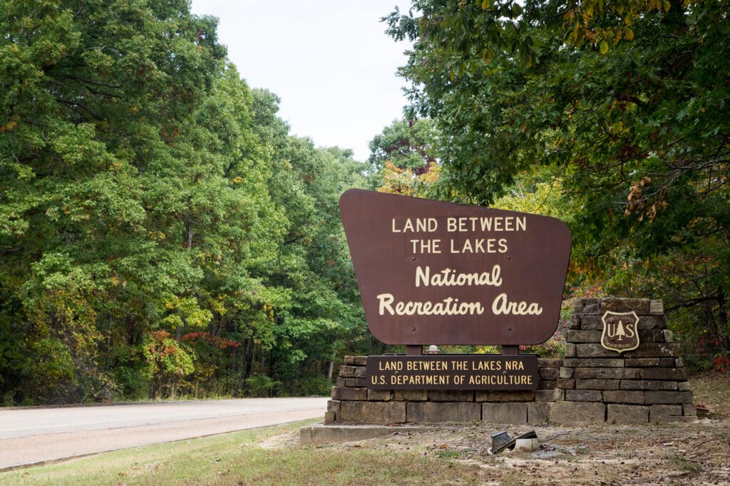
For years, while driving interstates between the Southeast and points west, I passed intriguing brown signs for Land Between the Lakes National Recreation Area. But whenever I searched online, the vibes were mostly reservoirs, shorelines, and motorboats. Maybe an occasional horseback rider or hunter. So we kept speeding past—with mountain bikes, hiking shoes, and kayaks—looking for other places.
Yet LBL had some promising stats. Over 170,000 acres of wooded peninsula, 300 miles of undeveloped lakeshore, and 500 miles of trails. Frankly, such big numbers with little explanation can be a red flag. If it was good to go, everyone would already know about it, right? Not always. National recreation areas often surround reservoirs, which tend to become the focus, making inland activities harder to find. But sometimes, there are worthy adventures to discover.
In the mid-20th century, the TVA built a pair of large dams on the Tennessee and Cumberland Rivers, creating Kentucky Lake and Lake Barkley. The peninsula was acquired by eminent domain and left in a natural state for outdoor recreation. In 1998, management of LBL was transferred to the U.S. Forest Service. Last summer, on a road trip to the Ozarks, I dropped by with my camper and came away impressed. So, that October, I returned for tent camping in cooler weather. During these two visits, I studied maps, asked around, and hit the ground for a broad survey of what the area offered.
NORTHERN LBL
Canal Loop Mountain Bike Trail
During my summer visit, the Canal Loop proved to be the best mountain biking at LBL. This 14-mile trail system offers fast cross-country singletrack through rolling hills with enough jumps and snappy turns to keep it interesting. Four connectors segment the full trail into shorter loops, allowing riders to customize their mileage or reverse certain sections.
The trailhead is at North Welcome Station on the Kentucky side of the rec area. Each time I went, I encountered plenty of lake views and just a handful of other bikers. The cooler temps were greatly appreciated during my fall trip, which allowed me to ride laps in all directions at blazing speeds. A fun trail for beginning mountain bikers to build skills and experienced riders to build their legs.
Occasionally, I stopped to chat with the rare passerby. Each time we marveled at the surprising quality of the trail. With one instant MTB pal, we briefly rode a short part of the intersecting North/South Trail. This mixed-use route traverses the entire length of LBL, but it has some quirks. The northern 31 miles are mostly singletrack for hikers and bikers. The southern 28 miles are mostly old doubletrack roadbeds, open only to hikers and horses—no bikes. I crossed this long-distance trail a few times, and I remain curious to see more.
On this trip, I stayed at nearby Hillman Ferry Campground, a large public camping resort. That put me in 30-minute striking distance to the river city of Paducah. One night, I picked up food at Just Burgers, a local staple, and took it to Dry Ground Brewing Co. They have great beers and are located inside the old Coke Plant, a historic landmark. Another night I stayed closer to northern LBL and checked out the scene at Between the Lakes Taphouse in Lake City. While I was chatting with an aspiring mountain biker at the bar, an amateur Elvis impersonator took the stage for an a cappella session. When I asked if he was a hired performer, the bartender shook her head. “No, he just does that a lot.”

CENTRAL LBL
Woods and Wildlife
The moment I stepped inside the Golden Pond Visitor Center, I began to understand why the inner peninsula is mostly forgotten. On a wood-paneled wall, there were dozens of paper brochures. Seemingly one for each highlight in this vast recreation area. There’s even a planetarium in the attached dome theater. Unlike an NPS unit, LBL doesn’t have a detailed brochure or easy-to-consult website for figuring out what to do. It’s an outdoor park still waiting to be discovered.
A few times I hopped on my gravel bike to ride the Central Hardwoods Scenic Trail. This 11-mile multiuse path is open to pedestrians and cyclists, crossing the peninsula from lake to lake. The easternmost three miles are paved next to the highway. I preferred the western side, with just over eight miles of crushed gravel rolling through hilly old-growth forest. My turnaround point was the Eggner Ferry Bridge, where I took shady breaks by the water. This was a fun ride, and almost any bike would work.
Highlights abound in this central part of the rec area. Just north of Golden Pond is the Elk & Bison Prairie. One summer evening, I paid the small fee and drove the three-mile loop through the 700-acre wildlife preserve. As dusk arrived, a line of bison marched along a road with less than a dozen cars, past meadows filled with grazing elk and blinking fireflies.
Another day I hiked the Nature Station Trail System. The 4.6-mile Honker Trail was a moderate to easy path through woods to the edge of Lake Barkley and across Honker Dam, which impounds a large wetland filled with water lilies and birds. The 2.2-mile Hematite Trail is a comparable loop around a smaller lake. Afterward, I visited the Woodland Nature Station, an educational center with outdoor gardens and a small rehabilitation zoo that includes red wolves.

SOUTHERN LBL
More Trails and Historic Sites
Traversing the entire LBL peninsula, the Woodland Trace National Scenic Byway stretches nearly 50 miles north to south. Just past the state line, I stopped at an LBL historic site, the Great Western Iron Furnace. In the mid-1800s, iron ore pits were dug in the area, called Between the Rivers at the time. A total of eight limestone slab furnaces were built to turn the ore into iron ingots, which were shipped on barges to market.
For my final two nights that fall, I set up at Piney Campground. It may have been the fall colors around the reservoir inlets, but this was my favorite campsite at LBL. While my legs were dead from three laps at Canal Loop the day before, I decided to tough out a final day ride.
My goal was to explore the Fort Henry Trail System. The mix of singletrack and doubletrack routes follow an 1862 Civil War march, when Ulysses S. Grant led a Union ground force eastward in pursuit of retreating Confederate troops. Today, the area is open to hikers and bikers, yet I was the only person around on a mild Thursday in mid-October. The unmaintained trails were overgrown in places. Good for adventurous explorers, but watch out for poison ivy, cobwebs, and ticks. The best options I found were around the Devil’s Backbone Natural Area, including Artillery Trail and the ridgeline Devil’s Backbone Trail.
For a final dinner out, I went to Blue’s Landing in nearby Buchanan, Tenn. In one night I saw more people at this popular Cajun restaurant and live music bar than on all four trails combined. My main takeaway is that most LBL visitors seem to congregate at shoreline campgrounds, leaving nearly empty woods for those who venture off.
The last southern highlight I visited was just outside the rec area at Fort Donnelson National Battlefield. This one’s somewhat unique among military parks given that you can walk through the site on several miles of paths. After Union troops surrounded the Confederates inside Fort Donnelson, a surrender was finalized inside the restored Dover Hotel, which has become a small NPS museum.
As I drove east, I called my wife to report. It was a hidden peninsula filled with outdoor opportunities. The main question was when we might return to the lost Land Between the Lakes.
All photos by the author


