Six Suspension Bridge Hikes in the Blue Ridge
SAN FRANCISCO’S GOLDEN GATE BRIDGE SWAYS nearly 28 feet side to side. While that may sound like a lot, its ability to sway gives it the stability it needs to withstand the region’s common earthquakes. In the Blue Ridge, we don’t have bridges as famous as the big red one out west, but we do have plenty that will lead you into some stunning scenery and provide new vantage points of the surrounding mountains. Here’s a guide to six sweet suspension bridge hikes around the South.
Raven Cliff Falls & Dismal Loop
South Carolina
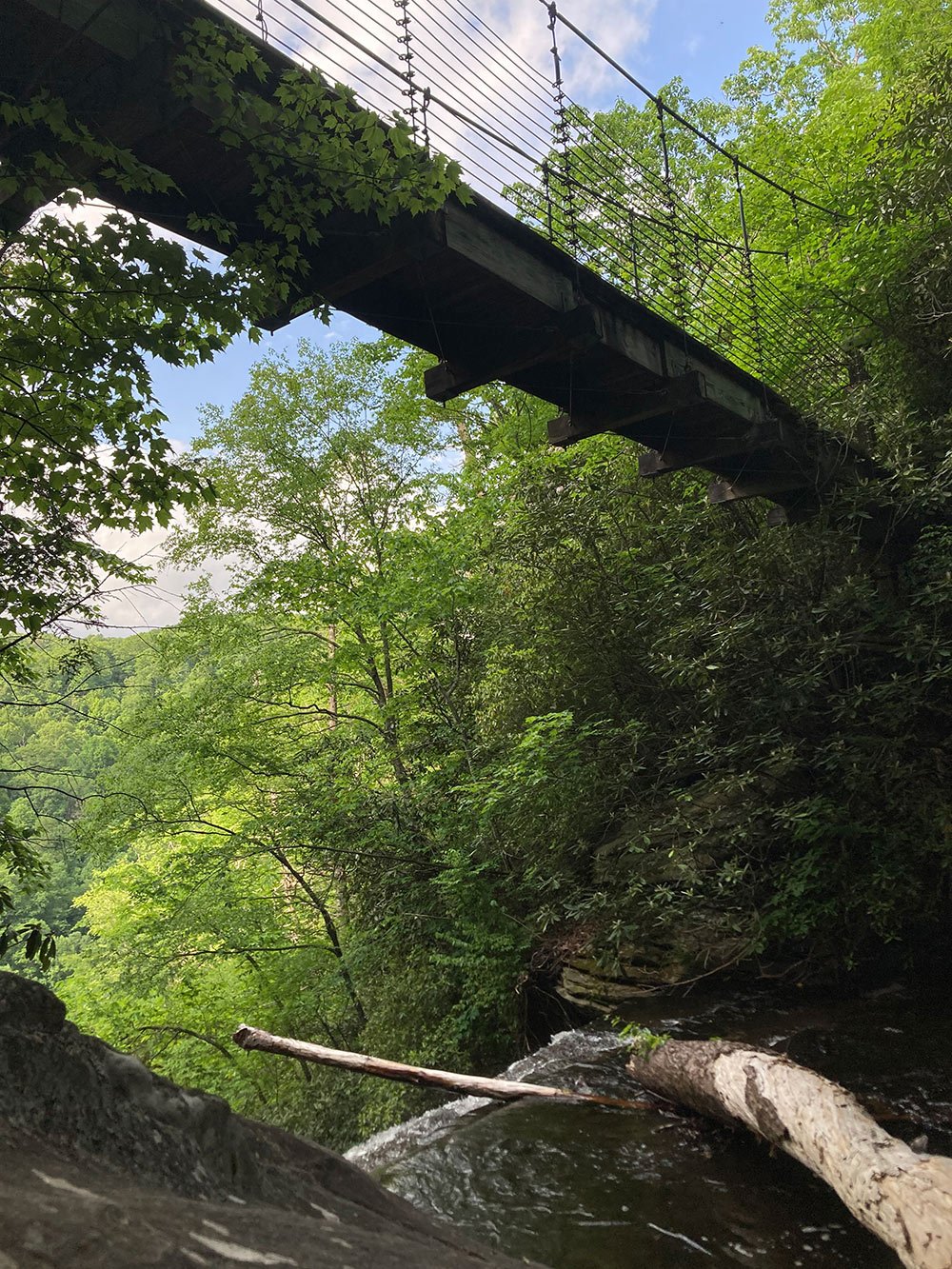
Explore a rhododendron wonderland in the Upstate region of South Carolina alongside Matthew’s Creek, a waterway chock full of cascades and the massive, 420-foot Raven Cliff Falls. The suspension bridge spanning the creek provides cascade views on one side and views across the gorge on the other.
Access it via a 7.7-mile lollipop hike in the Mountain Bridge Wilderness Area in Caesars Head State Park that connects the Raven Cliff Falls, Dismal, Naturaland Trust, and Gum Gap Trails. Most folks go clockwise to get the hard part done first and to catch the long-distance view of Raven Cliff Falls. For folks who want to check out the bridge but skip the view of the falls, go counterclockwise at the lollipop and turn around after hitting the bridge—the distance is about the same, but the elevation change is comparatively minimal.

Tallulah Gorge
Georgia
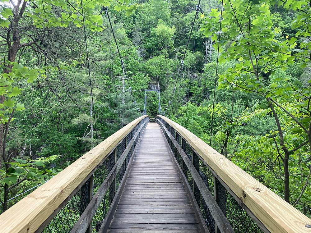
On the Hurricane Falls Trail at Georgia’s Tallulah Gorge State Park, a mulch path guides you to overlooks above the park’s namesake gorge, the 1,000-foot canyon deeper than almost any other on the East Coast. This relatively easy trail takes you over a bridge shared with the roadway as well as a 200-foot suspension bridge that hovers 80 feet above the rocky water below.
Depending on which way you go, you’ll either cross the bridge coming to or from Hurricane Falls, a gushing waterfall in the bottom of the canyon along the Tallulah River. The roughly two-mile loop traverses both the North Rim and South Rim of the gorge, complete with multiple scenic overlooks, and a deep dip into the canyon with hundreds of stairs leading to the bridge and, ultimately, to the platform right next to Hurricane Falls.
Hikers are in for a treat the first three weekends of November during the season’s only whitewater release days, when water thunders through the gorge and spectators look on from the rim as kayakers challenge their skills over Class IV-V rapids.

Savage Gulf State Natural Area
Tennessee
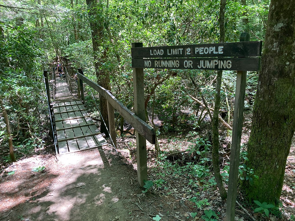
Savage Gulf State Natural Area is perfect for suspension bridge lovers, with at least a half-dozen throughout the 15,590-acre expanse that is part of South Cumberland State Park. Start hiking from the ranger station, where the first bridge is crossed just a fraction of a mile in, heading toward popular Savage Falls, and the second will be crossed just before you get to the falls.
After stopping at Savage Falls for a dip, cross back over the bridge and continue on the North Plateau and North Rim loop for a 17.5-mile lollipop hike (with great campsites along the way), or hang a right onto Mountain Oak Trail shortly after the Dinky Line campsites to beeline to the overlooks on Mountain Oak and North Rim, which will include another suspension bridge over Savage Creek. Three more suspension bridges can be found along the six-mile Collins Rim Trail in the southern part of the park, and one can be found along the one-mile Greeter Falls Loop trail on the park’s eastern side.

Mile High Swinging Bridge
North Carolina
Located among the big mountains of the North Carolina High Country, the 228-foot-long Mile High Swinging Bridge at Grandfather Mountain is easy to reach and quite popular. The bridge—built in 1952 and rebuilt using the same towers in 1999—spans an 80-foot chasm 5,280 feet above sea level and is one of the windiest places in the state: a 124 mph record was set there in the winter of 2019.
Visitors on a time crunch can pay the $24 park entrance fee and hike 2/10 of a mile from the parking lot to gorgeous, otherworldly views of the surrounding Blue Ridge Mountains. If you’ve got time to earn it, start at the Boone Fork Parking Area near Mile 299 on the Blue Ridge Parkway and take the Tanawha trail to Daniel Boone Scout Trail, traversing several switchbacks to the top of Calloway Peak. Then take Grandfather Trail across view after view until summiting Grandfather Mountain, which is where the bridge is. This out-and-back hike clocks in around 13 miles.
Toxaway Bridge
North Carolina
The 76.2-mile Foothills Trail that weaves the border of North and South Carolina has plenty of bridges. Most impressive is the suspension bridge over the Toxaway River, 225 feet long and located about 49.5 miles from the trail’s western terminus in Oconee State Park. Duke Power and Crowder Construction Co. rebuilt the bridge in 2019 after years of good use since its original construction in 1982. The FHT has enjoyed greater popularity in recent years, partially due to its reputation as the perfect training hike for the Appalachian Trail (think green tunnels and lots of water). Folks who want to see the bridge but don’t have time for a thru-hike can reach it from Frozen Creek Trailhead, which is five miles away, or access the FHT by boat at the Canebrake Boat Access.
Eastatoe Passage of the Palmetto Trail
South Carolina
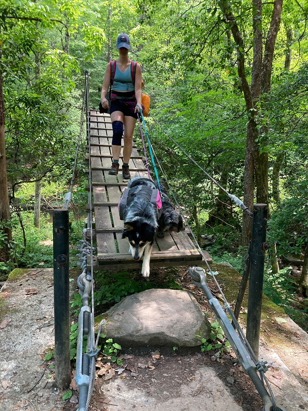
Two bridges swing along the Eastatoe Passage of the Palmetto Trail, South Carolina’s long trail. The Bridges hang over two tributaries of the Eastatoe Creek, a trout-stocked blue vein.
From the Dug Mountain Fishing Access parking lot, located near Pickens, S.C., hike alongside the Eastatoe Creek. Three-quarters of a mile in, you’re graced with the 95-foot Zeke suspension bridge, which was completed in December, 2020. Not long after, you’ll reach a second one. The bridges hang above the floodline because the structures they replaced were washed away due to storms in 2019, preventing hikers from crossing the water and severing the connection to the rest of the 500-mile Palmetto Trail. The Eastatoe Passage is 4.6 miles long, ending at Keowee-Toxaway State Park.


