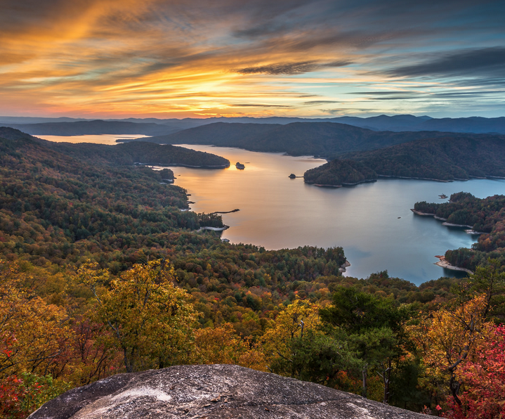
South Carolina is world renowned for its Southern hospitality, signature cuisine, and the quaint charm of coastal destinations like Charleston and Beaufort. But the less-heralded northwest corner of the Palmetto state, where the rolling hills of the Piedmont give way to the impressive features of the Blue Ridge Escarpment, is home to amazing opportunities for outdoor adventure and exploration. Use this guide to the 6 best hikes in the South Carolina Upstate next time you’re looking for a new place to explore in the Blue Ridge Mountains.
1. Fall Creek Falls, Jones Gap State Park and Mountain Bridge Wilderness Preserve
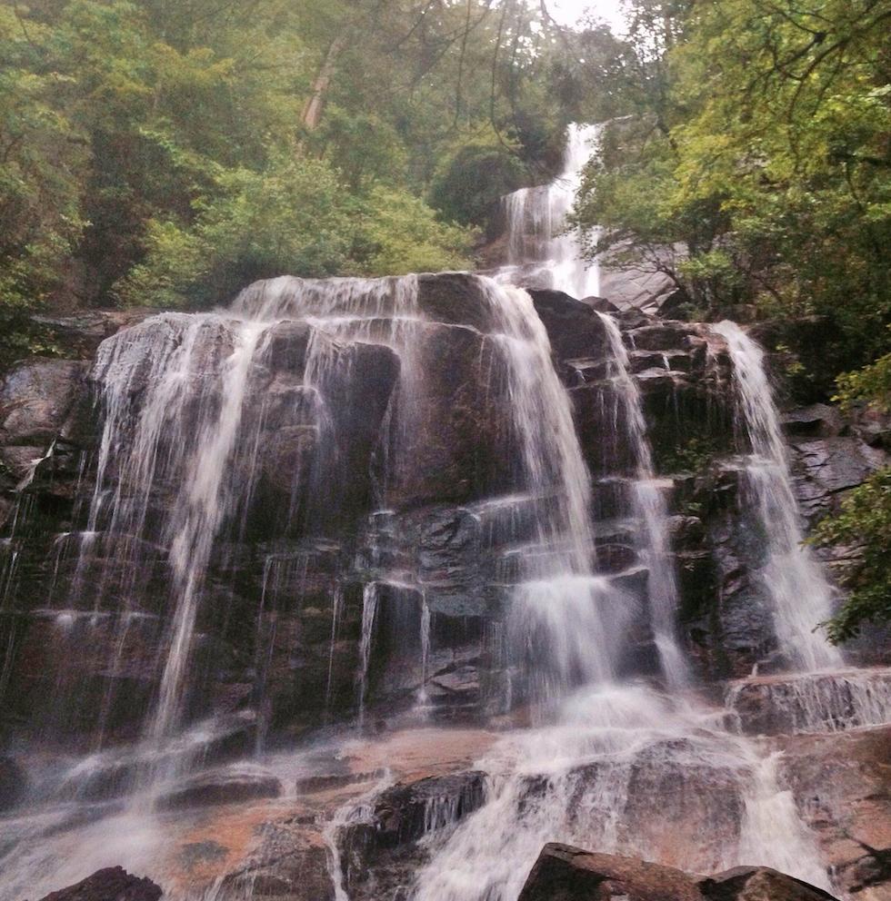
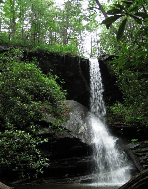
This 100-plus foot waterfall lies deep in the heart South Carolina’s 40,000-acre Mountain Bridge wilderness preserve at the end of a strenuous 1.5-mile uphill hike. The elevation gain is tough but rewarding. When you reach the top, not only will you be rewarded with an up close encounter of an impressive water feature, you’ll also be treated to sweeping views toward Greenville of Paris Mountain and the surrounding Piedmont.
 2. Eastatoe Gorge, Pickens County
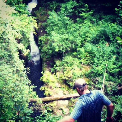
The Eastatoe Gorge is protected by the 373-acre Eastatoe Creek Heritage Preserve. Once a bastion of impressive old growth hemlock, the area saw its fair share of decimation after the accidental introduction of invasive hemlock wooly adelgids. The South Carolina Department of Natural Resources has now closed this heritage preserve to primitive camping due to the high volume of downed and falling trees, but it makes an excellent summer day hike, especially if you’re looking to escape the heat of the Upstate with a cool swimming hole. To access the trail head north on US 178. Eventually you’ll go through the small community of Rocky Bottom, South Carolina. Shortly after Rocky Bottom is a bridge spanning the length of Eastaoe Creek. Take a left after the bridge and follow signs for the Foothills Trail. Continue on past the Laurel Valley trailhead of the Foothills Trail to a gate blocking an old logging road on your left. Park at the gate and head into the gorge on the old logging road.
3. Big Rock Mountain in the Nine Times Forest
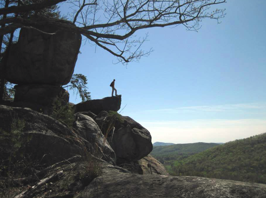
This recently protected area is a hidden jewel with no real established trails that requires boulder scrambling, a little route finding, and some moderate bush whacking. At the top of Big Rock Mountain is a boulder strewn paradise wholly unique in the South Carolina mountains. Because Nine Mile is still relatively new and trails systems largely unestablished, the area can be dangerous if not taken seriously. Thorough research and competent back country aptitude are required for successful exploration of the Nine Mile Forest. Click here for a first hand account of Josh Simon’s recent trip to Big Rock Mountain.
4. Pinnacle Mountain, Table Rock State Park
At an elevation of 3,415 feet above sea level, Pinnacle Mountain is the tallest mountain completely contained within the borders of South Carolina. This hike is fairly popular, but the balds at the top offer unrivaled views of the iconic Table Rock Mountain. To get to the top start at the eastern terminus of the Foothills Trail inside Table Rock State Park. Once you reach the balds soak in the views, then bypass the true summit and continue on the Foothills Trails beyond the boundary of Table Rock State Park to a few stellar backcountry campsites.
The hike to Moonshine Falls requires a cable bridge crossing over Matthews Creek and a special gate access code from Asbury Hills to pass through their summer camp property, but the payoff is huge. The waterfall itself is impressive, but even more interesting are the authentic moonshine stills left over from a bygone chapter of South Carolina history. For a detailed description of the hike and the beta on an alternate route through the Natural Land Trust Trail click here.
6. Lake Jocassee
Take in the panoramic view of Lake Jocassee from Jumping Off Rock, and you’ll immediately understand why National Geographic Magazine named the Jocassee Gorges in a list of ‘50 of the World’s Last Great Places‘. Ironically, the pristine lake observed from this spot is a product of a man-made hydro project, formed by the flooding of the Horsepasture, Thompson, Toxaway, and Whitewater River. But the forested mountains that surround Lake Jocassee are largely untouched by the hand of man. Click here for detailed directions to the one-of-a-kind lookout point.
