There are many sounds you expect to hear when you’re hiking in the wilderness, but the theme to Disney’s Lion King is not one of them. Yet here I was, on the trail descending from the summit of Old Rag Mountain in Shenandoah National Park, and the familiar tribal tune was blaring from around the bend.
Rising up the trail along with the music was a horde of young teenagers. Apparently one of them needed the comfort of his spirit animal, Simba the Lion, to motivate him up the steep and strenuous trail. My hiking buddy John and I speculated about the affiliation of the more than 50 teens hiking together: church group, high school sports team, hiking club? It didn’t matter. The catchy tribal chanting was stuck in my head for the rest of the hike.
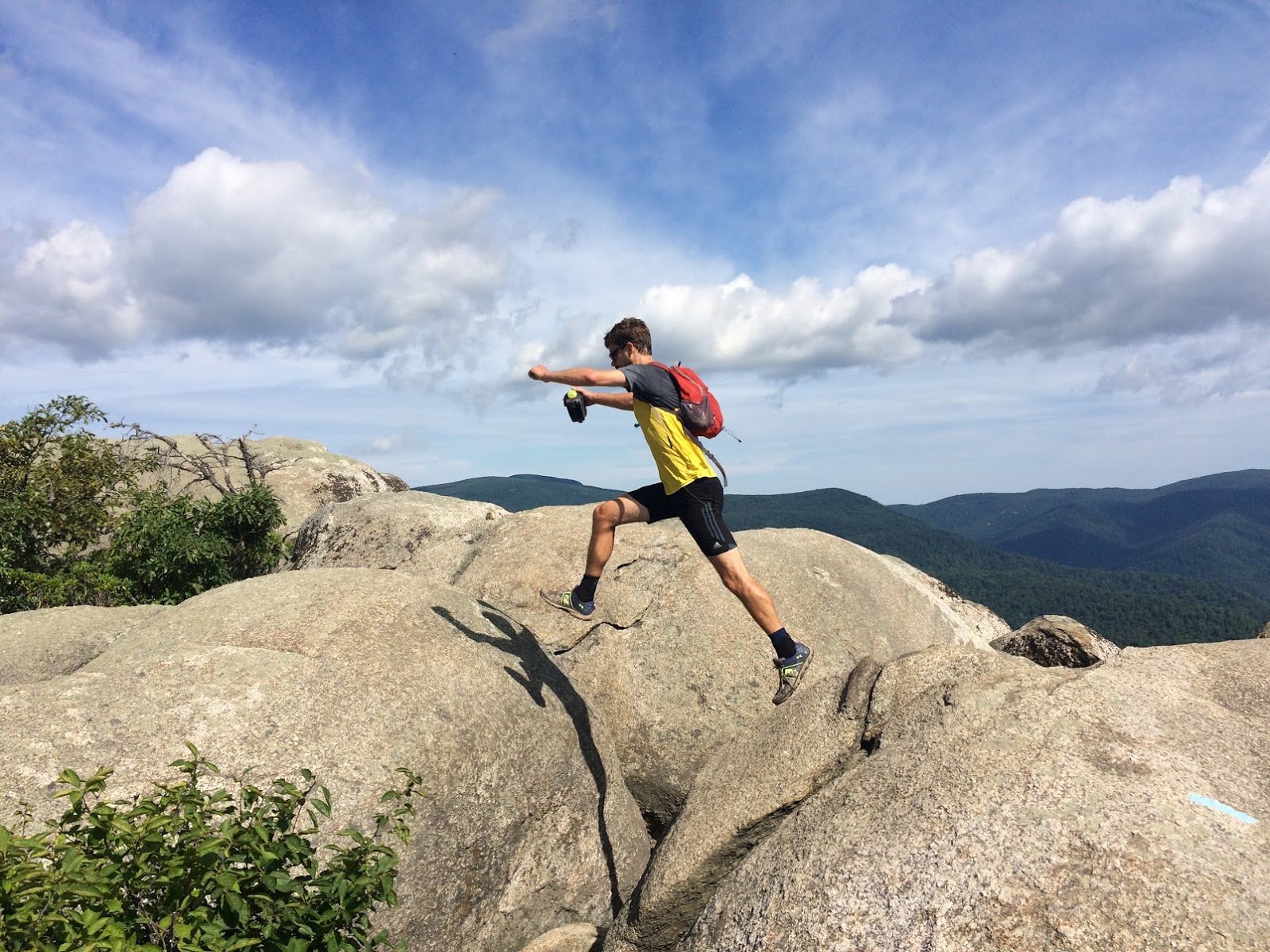
The Lion King encounter was just one of a few magical moments from our Old Rag hike. Earlier we had seen a small black bear, just shy of the summit. He (or she?) was blocking the trail, but not in a threatening way. After looking us over, the bear sauntered off the trail, huffed and then yawned. If this wasn’t enough to convince us what it thought of us, it punctuated the feeling by presenting its rear end to us and taking a giant dump.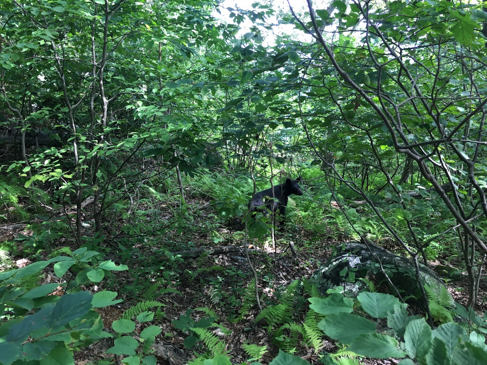 The Old Rag hike is spectacular even without bear encounters or Disney theme songs. The summit (elev 3,291 ft) provides 360 degree views of the Blue Ridge Mountains and surrounding valleys. The hike to reach the summit is challenging – but doable for most hikers.
Our day started at 6:30 AM, when we left Annapolis, Md for the two-hour drive to the trailhead. I hadn’t been to Old Rag for nearly 15 years, but I’d heard the hike has grown in popularity and can get crowded on weekends. (Fact check: TRUE) We wanted to beat the crowds so we got an early start on a cool, beautiful Sunday morning in August. We pulled into the 200-space parking lot on Nethers Road a little after 8:30 AM and there were probably close to 50 cars in the lot already. We topped off our water bottles, filled our tiny daypacks with snacks and then headed over to the ranger booth to pay our fee ($10 per person – they take credit cards!) We jogged the 0.8 miles from the lot to the trailhead, then headed up the steep, rocky trail at a brisk hike.
The Ridge Trail winds up to the summit at a pretty steady incline. The trail is largely shaded under a lush tree canopy and includes a number of switchbacks. Ferns and other ground cover blanket the ground. We passed a handful of other hikers, mostly small groups of two or three. After about two miles, the trail began to open up with impressive vistas to the west – towards Skyline Drive. Shortly after this, the trail changes pretty dramatically in character and becomes a “rock scramble.”
The scramble is the hardest, and most fun, part of the hike. You’ll need to climb up a few boulders, squeeze through narrow passages and even pass through a small cave tunnel. When crowded, this section can become a bottleneck. Keep an eye out for the blue blazes that mark the official trail – it’s easy to get off course. We found it was best to stow our water bottles in our packs to have both hands free. Be careful – it’s a long way back down and cell coverage is spotty or nonexistent, so getting hurt would be a real drag.
Just after the scramble, we encountered the bear. About a third of a mile later we hit the summit – and spent some time climbing on the rocks looking for the best views. About a dozen other folks were up there, too. I felt like we beat the rush, which was very rewarding. I visualized how different it would be with two or three times as many hikers jostling for views on the summit. I suspect another hour or two would bring the crowds.
We headed down the west side of the mountain, where we picked some trailside blueberries and shortly came to the Byrd’s Nest shelter. We stopped for a quick break and a snack and heard a building crescendo of young voices coming up the trail. “This is why I wanted to leave early,” I told John as the throng passed by us, nodding polite hellos. The summit was about to get crowded.
After Byrd’s Nest, the Ridge Trail gives way to the Saddle Trail, which is similar to Ridge but doesn’t have a rock scramble. (So, if you want to summit Old Rag but avoid the scramble, you could hike up the Saddle Trail and return back the same way.) We scampered down the trail at a brisk pace, passing the stragglers of the teen group going up – including the Lion King fan.
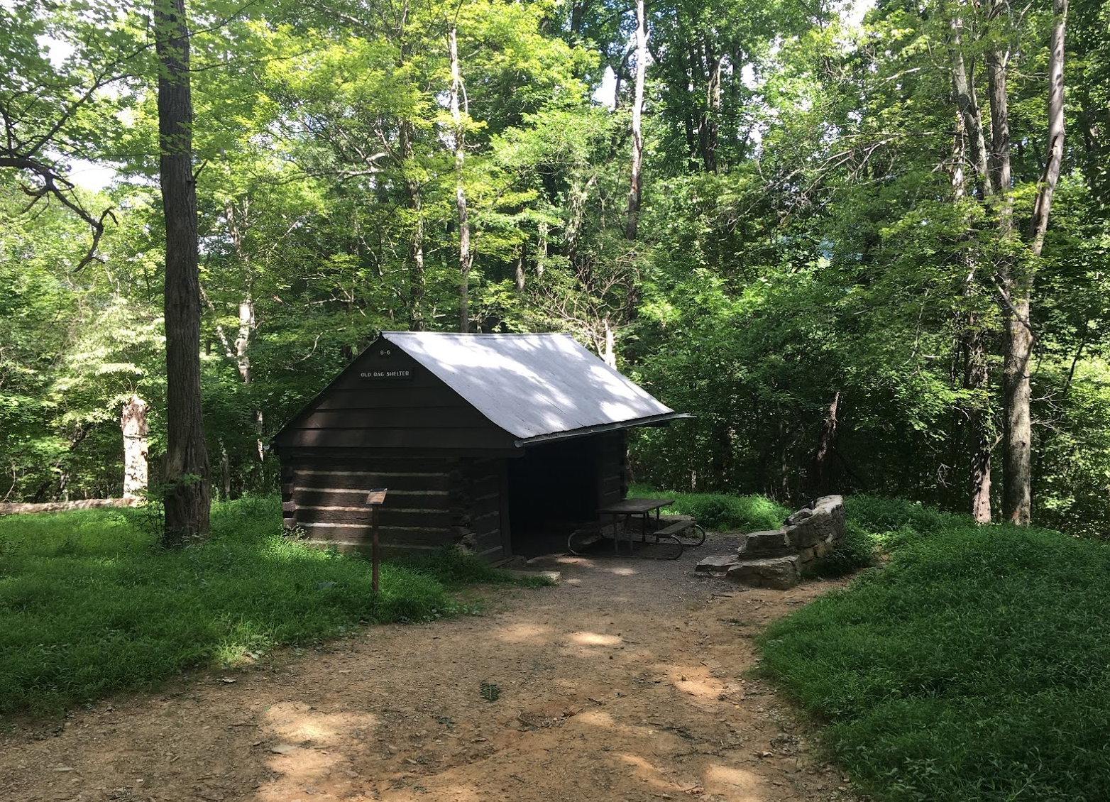 About a half mile later we reached the Old Rag shelter and the trail widened to a fire road. Another 0.4 miles and we came to an intersection – and a decision. The Berry Hollow Fire road led left towards Whiteoak Canyon, the Old Rag Fire Road continued straight, and Weakley Hollow Fire Road led right (back towards the parking lot.)
At this point, we’d hiked about six miles. We were still feeling good and it wasn’t even 11:30 yet. The shortest way back was three miles via Weakly Hollow, but we opted to add some miles and hike up the Old Rag Fire Road to the Corbin Hollow Trail, which followed a small stream called Brokenback Run. This would add four miles and make our total route about 13 miles.
The fire road was a constant slog uphill on stone cobble. John ran out of water but I had my UV sterilizer and promised we’d filter water from the stream. After two miles of strenuous climbing we finally spied the trailhead we’d been looking for. We thankfully hopped off the gravel road onto the soft earth of the Corbin Hollow Trail. This was a beautiful narrow trail that descended gently through open forest. The small stream gurgled a short distance to our left.
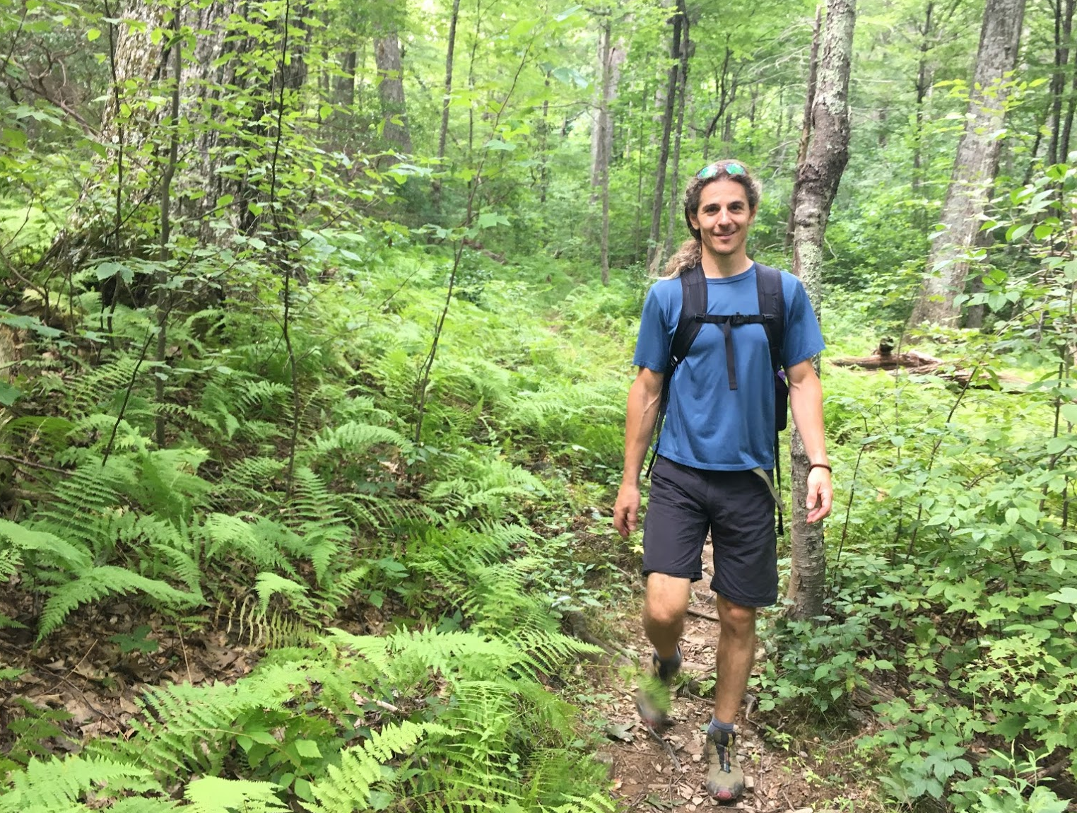 Along the trail, John spied an Indian cucumber and dug it up for a snack. The small white tuber was crisp and surprisingly sweet. I love foraging and mentally added this new plant to my list of wild edibles to keep an eye out for. We broke out my filter and enjoyed the cool, clean water from the stream. The trail crossed over the stream once, then again before ending at Weakly Hollow Fire Road.
We decided to finish strong, and jogged the last mile of the fire road, passing several folks we recognized from up near the summit. Weakly Hollow ended at the Ridge trailhead, so all that was left was the 0.8 mile jog back to the parking lot on Nethers Road.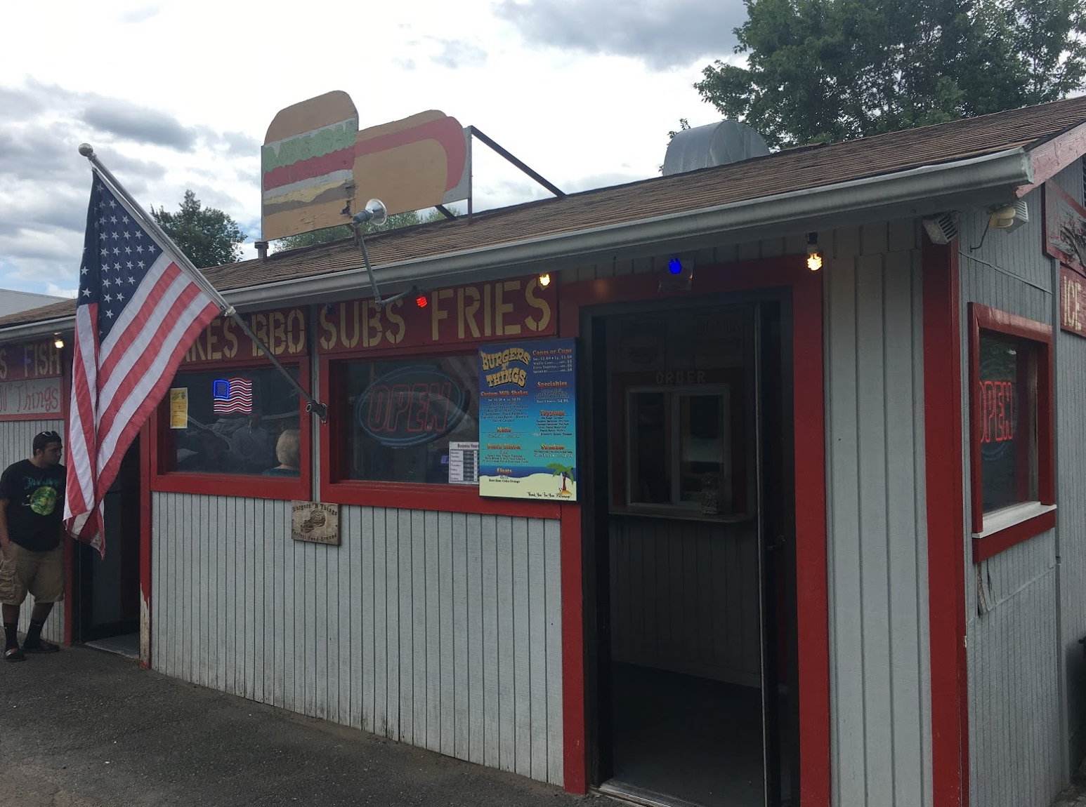 The lot was full when we got back around 1:30, packed with vehicles with Maryland and Virginia plates. We asked the ranger where to get a post-hike treat and he pointed us to “Burgers N Things” in Sperryville, where we proceeded directly. With black raspberry milkshakes in hand, John and I joked about our bear encounter and the Lion King, and agreed we couldn’t have had a better hike.
