Raise your heart rate on seven of the toughest trail routes in the Southeast
A mellow trail has its place. But sometimes you need an ass-kicking ascent to shake you out of your comfort zone and test your aerobic limits. Recommended by regional hiking experts, these routes will help you do just that.
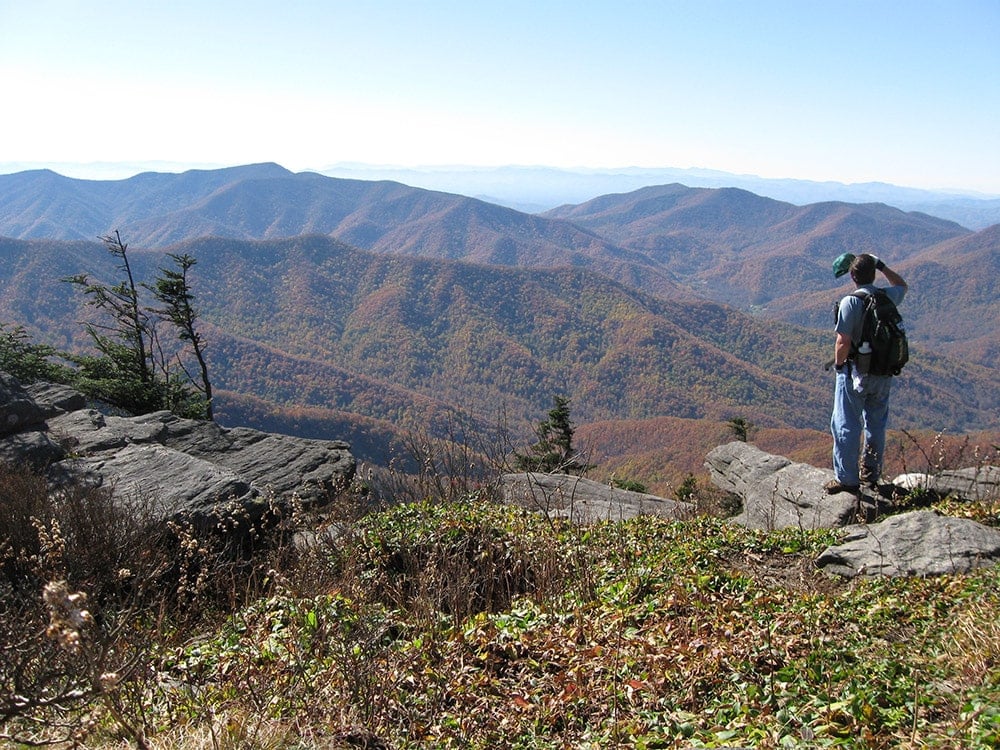
Rocky Top from Lead Cove Trailhead
Townsend, Tenn.
Length: 12.5 miles round-trip
Elevation gain: 3,864 feet
Trail type: Out-and-back
According to the Osborne Brothers, you won’t find no “smoggy smoke” on Rocky Top. Ain’t no telephone bills either. You will, however, find epic views and loads of adventure.
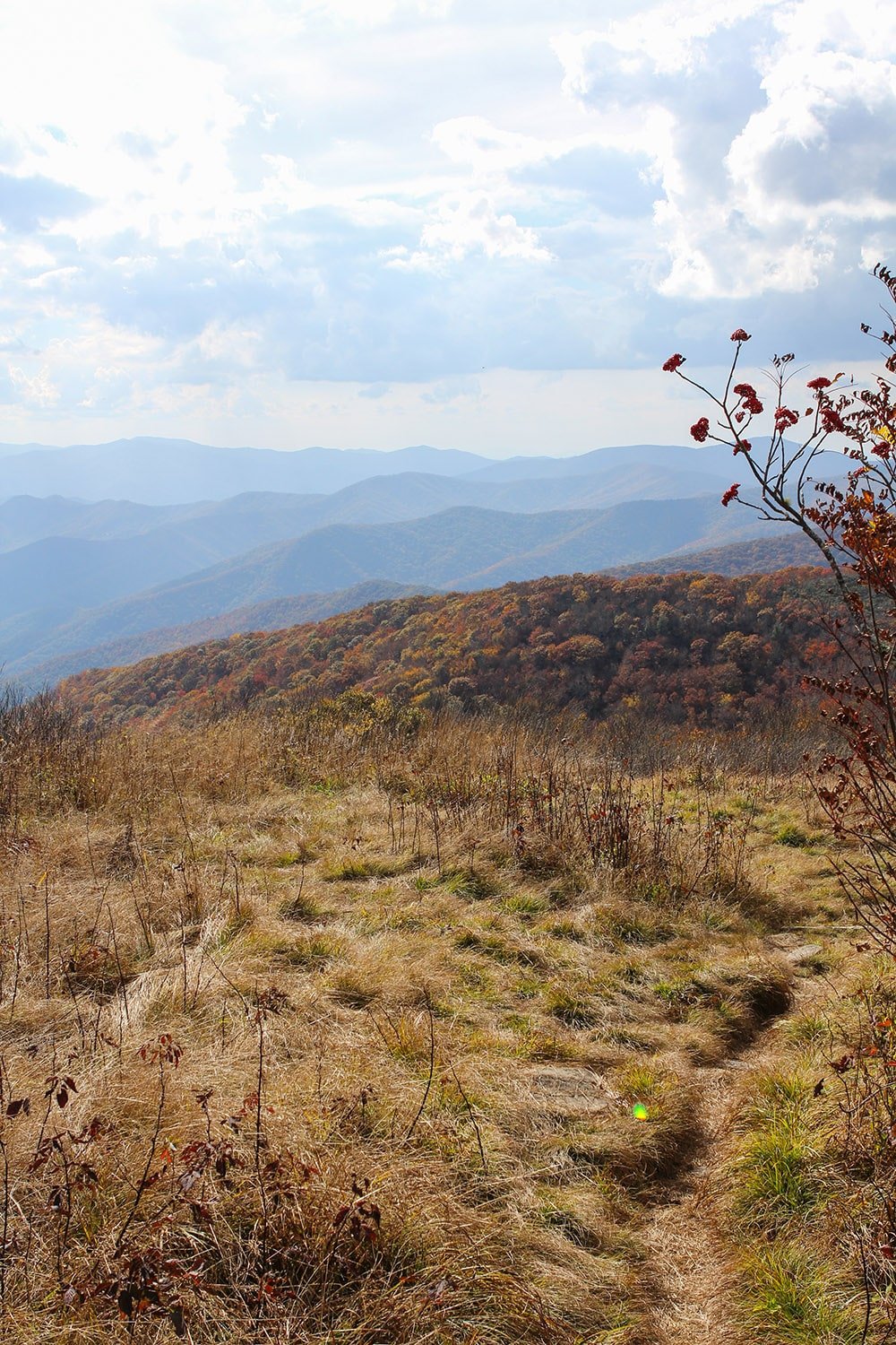
“There’s a reason Rocky Top has a song about it,” says Brittany Mendez with SmokyMountains.com. Come springtime, this 5,441-foot peak is rife with undulating grasses and vibrant wildflowers. And, in the fall, “all the colors are a gentle shade of orange and yellow.”
Simply put, the place is beautiful. But getting there takes some legwork.
Leaving from the Lead Cove Trailhead, the footpath follows a babbling brook before turning right onto Bote Mountain Trail, an old logging road from the 1830s. From there, you begin a strenuous, unrelenting climb to the Appalachian Trail, which eventually rewards with 360-degree views of the valley below.
Indian Staircase to Cloud Splitter Trail
Campton, Ky.
Length: 5.2 miles round-trip
Elevation gain: 928 feet
Trail type: Loop
To most diehard adventurers, a five-mile hike climbing less than 1,000 feet is an afternoon jaunt—an amuse-bouche to something grittier and more painful. But in Kentucky’s Red River Gorge, a five-mile hike will tucker you out plenty, says avid outdoorsman Bryce Boone.
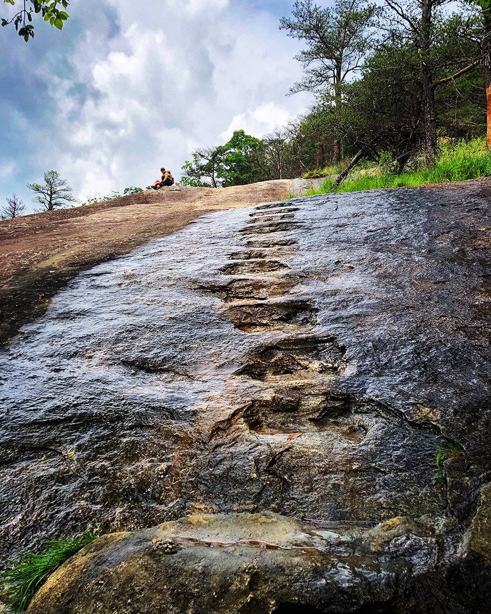
As Boone explains, Indian Staircase to Cloud Splitter Trail is a “pretty intense hike.” The odyssey follows the Sheltowee Trace National Recreation Trail, which zigzags in and out of small canyons and eventually leads to Indian Staircase, a series of Moki steps that climb a sandstone outcropping.
Later in the hike, a short spur trail takes you to the pièce de résistance: a massive rock face known as Cloud Splitter. Using a ragged, time-worn rope, hikers must pull themselves up the exposed precipice. As you climb, you “feel like you’re looking straight up into the sky,” says Boone.
Pond Run and White Rocks Loop Trail
Wardensville, W.Va.
Length: 11.2 miles round-trip
Elevation gain: 2,247 feet
Trail type: Loop
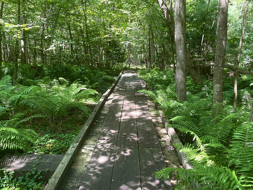
If you’re itching for a true backcountry experience, Pond Run and White Rocks Loop Trail in remote Hardy County is the place to go.
Nestled in George Washington National Forest, this loop traverses unrelenting terrain, requiring that hikers scramble over ankle-twisting rocks and cross rushing streams.
For your troubles, you’ll be rewarded with unsullied solitude and “expansive overlooks,” says Michele Mouré-Reeves, executive director of the Hardy County Convention and Visitors Bureau.
The most indefatigable of hikers can choose to extend their adventure, taking a nearby trail to a fire tower on Halfmoon Mountain.
Black Mountain Crest Trail
Burnsville, N.C.
Length: 11.3 miles one way
Elevation gain: 5,147 feet
Trail type: Out-and-back or shuttle
Jake Blood isn’t one to mince words, especially when it comes to grueling treks.
“There can be no doubt: The toughest day hike in all of the Appalachian Mountains is the Black Mountain Crest Trail (BMCT),” says Blood, president of the North Carolina High Peaks Trail Association.
Lovingly named the “Death March,” this lung-bursting point-to-point summits six 6,000-foot mountains in just 11.3 miles. The trail begins at Bolens Creek with a four-mile, 3,000-foot ascent to the shoulder of Celo Knob, which “opens to spectacular views of the spine of the Black Mountains.”
After catching your breath, you’ll begin a rollercoaster ride of elevation gain and loss. Up and up and up you’ll climb, summiting Winter Star at 6,203 feet, only to dip down to Deep Gap at 5,700 feet. Then, with your quads shivering and your knees begging for mercy, the BMCT demands a final push to the top of Mount Mitchell.
House Mountain Trail
Lexington, Va.
Length: 10.7 miles round-trip
Elevation gain: 3,219 feet
Trail type: Out-and-back
When Erin Gifford considers a trail “very, very steep,” you should believe her. As the woman behind GoHikeVirginia.com, Gifford has traveled hundreds of miles through Old Dominion on foot. The toughest trek in her opinion? House Mountain Trail.
Located within the 968-acre House Mountain Reserve, this walkabout begins with a steep climb up a gravel road. After 0.7 miles, the road turns into a dirt path that traverses boulder fields and untamed meadows.
Technically, says Gifford, there are two summits on this hike: Big House Mountain and Little House Mountain. “There’s a third overlook too that requires a rock scramble,” she says. All in all, the hike is a “toughie for sure.”
Table Rock to Sassafras Mountain Loop
Pickens, S.C.
Length: 16.7 miles round-trip
Elevation gain: 4,776 feet
Trail type: Loop
The South Carolina Ultra Marathon Running Club, or SCUM for short, is a masochistic bunch. These men and women take great joy in slogging up some of the Palmetto State’s toughest peaks, if not at a sprint, then at a slow, mind-numbing jog.
According to SCUM member Kim Manturuk, one of the area’s most devilish runs is Table Rock to Sassafras Mountain Viewpoint, a 16.7-mile loop gaining nearly 4,800 feet in elevation.
Starting near Carrick Creek Falls in Table Rock State Park, the trail climbs steadily through pine forests to Pinnacle Mountain. Once at Pinnacle, you have two options: Loop back to your car to grumble in agony or connect with the Foothills Trail for a soul-crushing ascent to South Carolina’s tallest peak, Sassafras Mountain (elevation 3,553).
During her last run, Manturuk chose the latter. “There are so many places where you think you’re about at the peak, but then you go around a switchback and there’s more climbing,” she bemoans. “It’s a beautiful trail, though, and the top makes it worth the struggle.”
Arkaquah Trail at Brasstown Bald
Hiawassee, Ga.
Length: 11 miles round-trip
Elevation gain: 3,792 feet
Trail type: Out-and-back
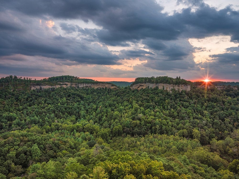
If you’re a history buff looking to burn some calories, look no further than Arkaquah Trail in the Chattahoochee National Forest.
This 11-mile trek begins not with a spirit-squashing climb but rather with a leisurely descent through rhododendron thickets. After losing well over 2,000 feet in elevation, you’ll arrive at Trackrock Gap, the site of ancient Native American petroglyphs thought to be carved by Cherokee hunters in 8,000 B.C.
Of course, if the history of this special place doesn’t get your heart thumping, the hike back will. “From the gap, the Arkaquah Trail makes an unrelenting climb straight up Brasstown’s lower elevations,” says Eric Champlin, co-owner of Trailful Outdoor Co., a hiking outfitter in Hiawassee.
According to Champlin, the footpath gains 1,300 feet in the first 1.5 miles. Worse yet, “switchbacks are few and far between.”
Cover Photo: The hike to Table Rock involves some fun rock scrambles. Photo courtesy of South Carolina Department of Parks, Recreation, and Tourism
