Where North Carolina butts up against Tennessee the land lies in folds and wrinkles like a blanket kicked to the foot of the bed. And we’re glad for it. The landscape is rough and varied and in it we’ll find peaks to bag, trails to tread, and waters to fish. Look around and you’ll find more quiet coves and pockets of pristine forest than you can count, and it seems every stream becomes a waterfall as it descends from the cloudy peaks. The Cherokee, who have inhabited this still-wild region for eons, believe that the places where water changes course are heavy with power and importance. Perhaps that’s why we’re drawn to waterfalls, to spend a silent moment listening to the voice of the water plunging over rock or to put our feet in the pools and rills where a bit of magic remains.
Wherever you go in Western North Carolina, you’re never far from a waterfall, and when you find yourself in need of a moment outdoors where the sounds of nature drown out all the noise of the world, look to this guide to find a few places you can go to recapture some of the spirit of the mountains.
Soco Falls
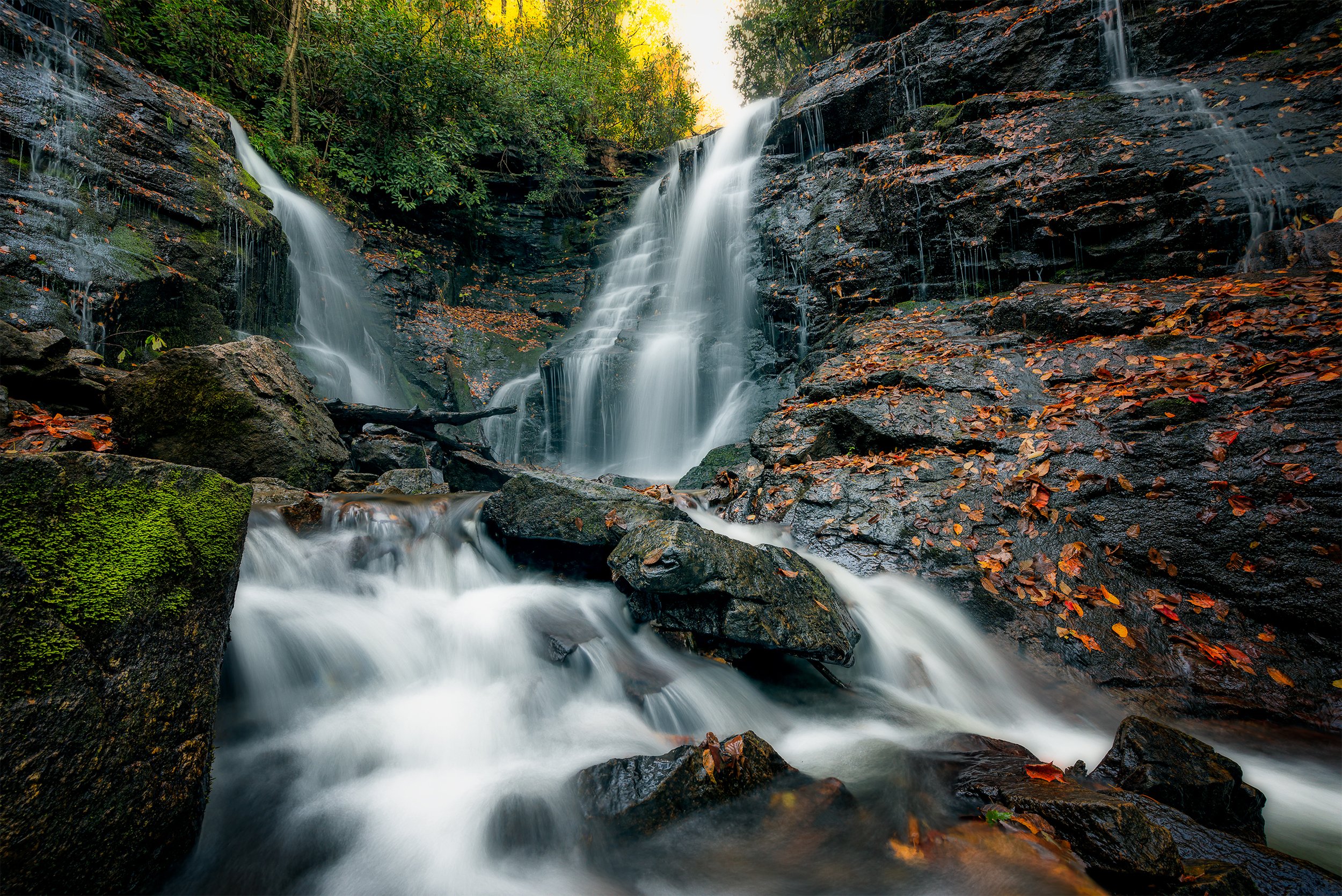
Soco Falls cuts a fine figure with twin falls plunging over perpendicular rock faces in a shady cove. The Cherokee found this place so powerful it was one of few where a life could be taken, which is why Spanish explorers met their fate here. It’s said that you can see the face of a Spaniard peering out from behind a veil of water at Soco, a silent witness to the power of the place. One of the easiest falls to access—it’s a five minute walk from the parking area—you’ll find the trailhead to Soco Falls off US Highway 19 at the edge of the Qualla Boundary just 5.5 miles west of Maggie Valley.
Linville Falls
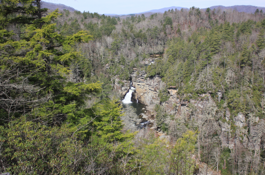
For a picture postcard view of Linville Falls you’re looking at a round-trip hike of 1.6 miles on an easy path that ends at Erwin’s View, perched on a rocky outcrop high above the gorge. From here you can see the three tiers of this fall and hear its dull roar as the water plunges into a pool so blue-green it’s nearly black. A great hike for families or young hikers, the trail is well maintained and it’s easy to access at Milepost 316.5 on the Blue Ridge Parkway.
DuPont Forest Waterfall Tour
The DuPont State Recreational Forest gives you the chance to see anywhere from one to five waterfalls on another relatively easy series of hikes. Start with the short jaunt down a wide gravel trail to Hooker Falls, then backtrack and hike a little further to Triple Falls, an impressive spot where many stop their waterfall tour.
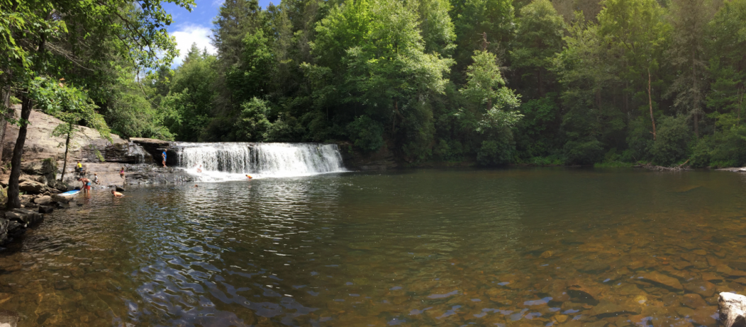
Press on to High Falls where the water slides over a 150’ high rock dome. Turn back here and you’ll miss Grassy Creek Falls, the crystal-clear Lake Dense, and Bridal Veil Falls. All told, you’re looking at a big day—around 12 miles round trip.

High Shoals Falls
One of the most popular hikes in South Mountains State Park, just south of Morganton, the 2.7-mile High Shoals Fall Loop can get crowded on prime weekends, but for a weekday or off-season hike, it’s perfect, plus, South Mountains has 20 backcountry campsites scattered around the park, so this 2.7-mile loop can grow into a strenuous trek from backcountry site to backcountry site over the course of a weekend.
Yellowstone, Second and Upper Falls
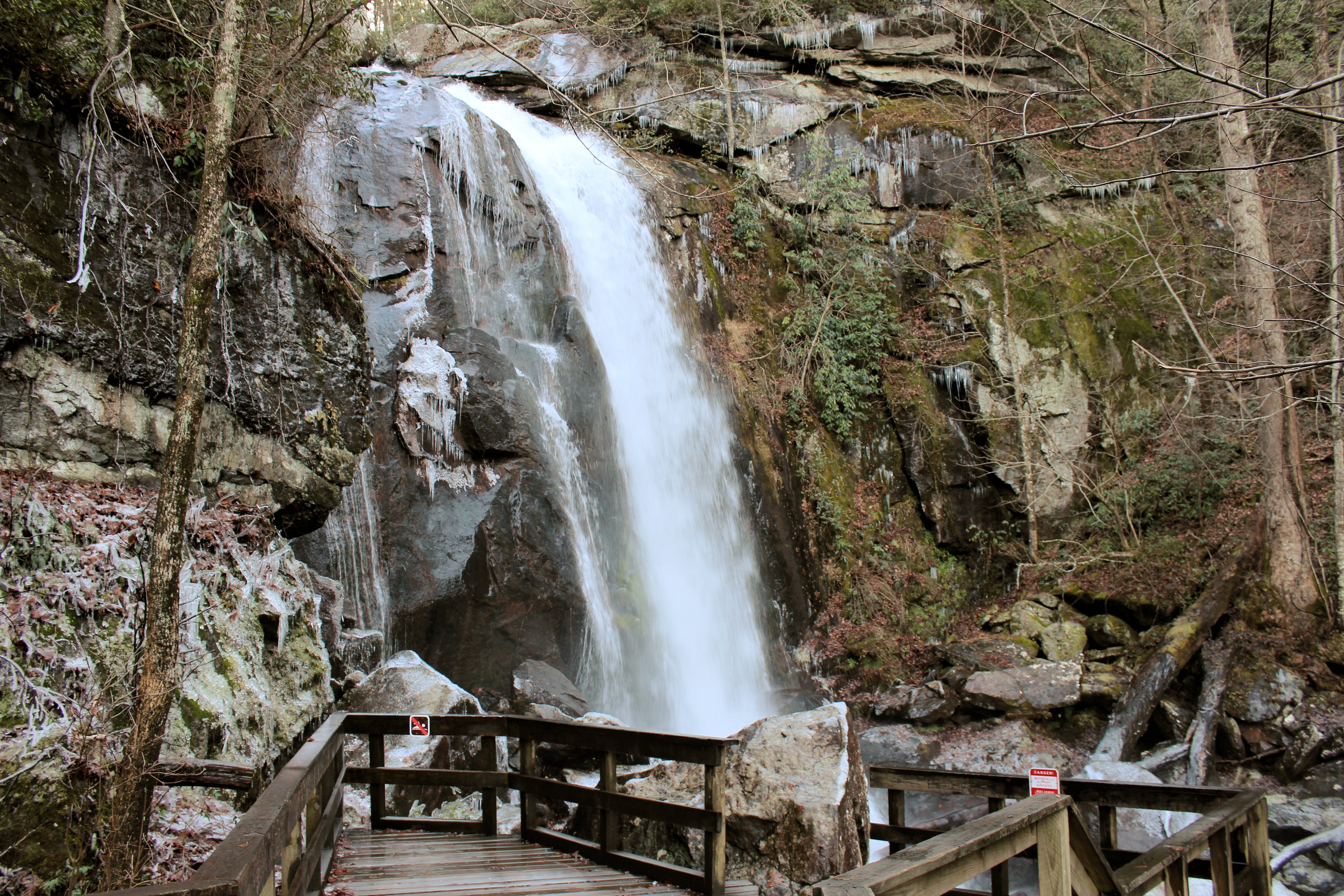
Graveyard Fields is a popular stop on the Blue Ridge Parkway and for good reason: an easy trail leads to Upper and Second Falls and through some lovely countryside. The hike to Yellowstone and Second Falls is an easy one and during wildflower season and autumn’s color show, a spectacular one. Reaching Upper Falls is a bit of a challenge though, and requires experience in both route finding and bushwhacking. If you find yourself following the Yellowstone Prong to Upper Falls, you won’t be disappointed though as views are excellent.
Skinny Dip Falls
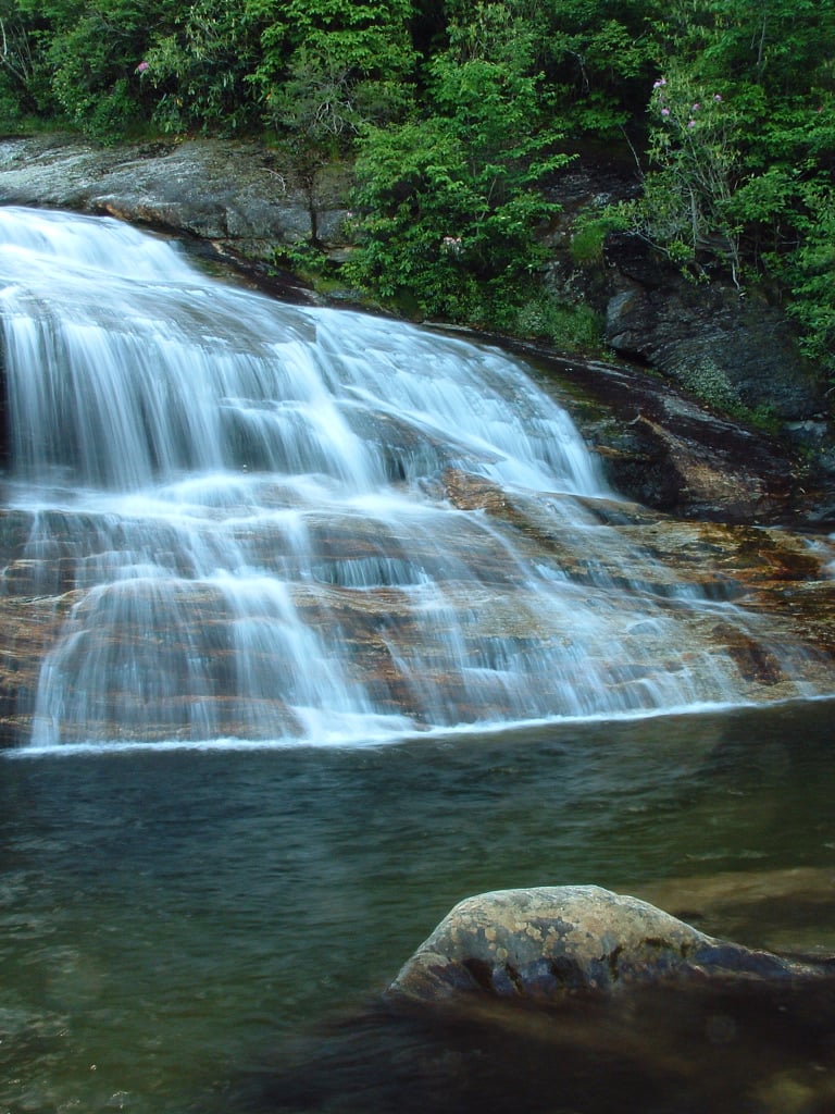
We almost didn’t include this 0.8-mile round trip hike off the Blue Ridge Parkway, but then we thought, “How could we not include Skinny Dip Falls?” The hike begins across the Blue Ridge Parkway from Looking Glass Rock Overlook and follows an old roadbed almost to the base of the falls where a tantalizing pool awaits. If there’s no one around, you have time for a quick strip, dip and drip (dry) before you’re discovered.
Crabtree Falls
Just off the Blue Ridge Parkway at Milepost 339.5 you’ll find Crabtree Meadows, a pleasant-enough campground and a 2.5-mile hike to Crabtree Falls. The trail is a mix of conditions, from a flat, meadow-roaming trace to a steep, switchbacked section or two that will leave you breathless. But Crabtree Falls is worth every step. Dropping 70’ down a near-vertical rock face and fanning out into a wide veil, Crabtree is a photographer’s dream.
Harper Creek Falls
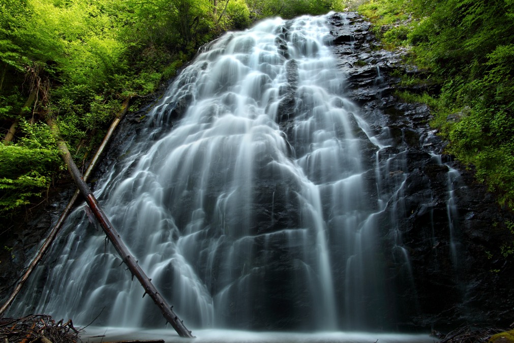
Near Morganton, Harper Creek Falls and South Harper Creek Falls are accessible via a tough 8.5-mile hike that includes a dozen stream crossings, some rough trail conditions, and a long-distance view of Grandfather Mountain. Both falls are quite lovely, but Harper Creek Falls, the first you’ll encounter if you make the loop counter-clockwise, is quite lovely as a two-tiered cascade rushes over rock faces to make upper and lower pools framed by the forest. You’ll find the trailhead for this hike 1.5 miles south of Betsy’s Ole Country Store on Brown Mountain Beach Rd.
Panthertown Valley Waterfall Tour
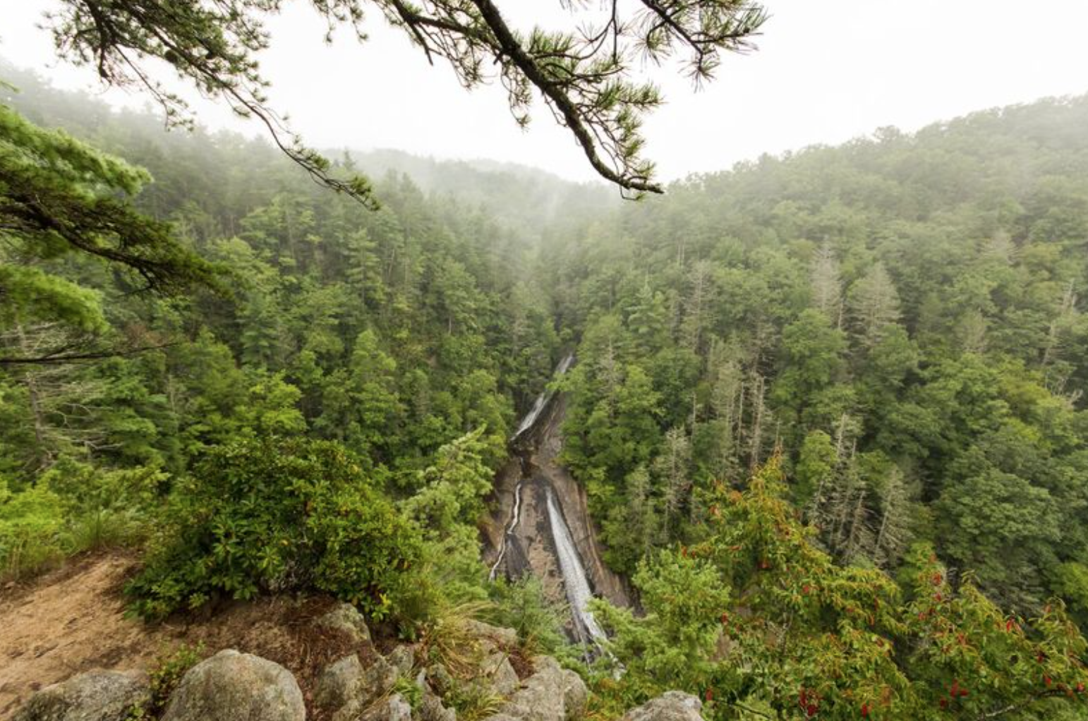
Panthertown (pronounced “painter-town” by the old-timers) Valley is called the “Yosemite of the East” because of an impressive collection of rock outcroppings jutting out of the earth. The headwaters of the Tuckasegee River are found here, as are a number of waterfalls. On this hike of anywhere from a couple of miles to 10 miles, you can see as many as seven waterfalls on a long, but pleasurable, day. You will need some map reading skills to take on the full extent of the valley, but practice up and hit the trail.
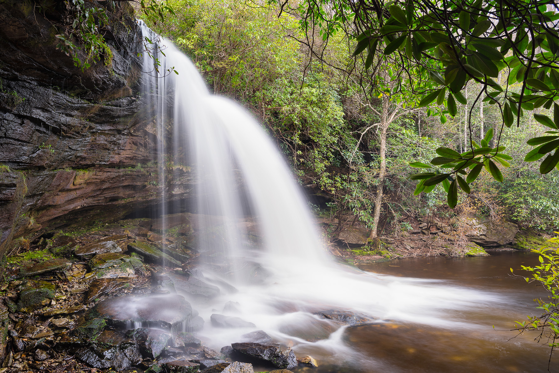
Among the waterfalls you’ll find here are Greenland Creek Falls, a beautiful double-decker cascade that’s around 60’; Wilderness Falls, where a small stream slips down a rock face to join one of the many streams here; and Schoolhouse Falls, which has a large plunge pool good for swimming or wading.
Cullowhee Falls
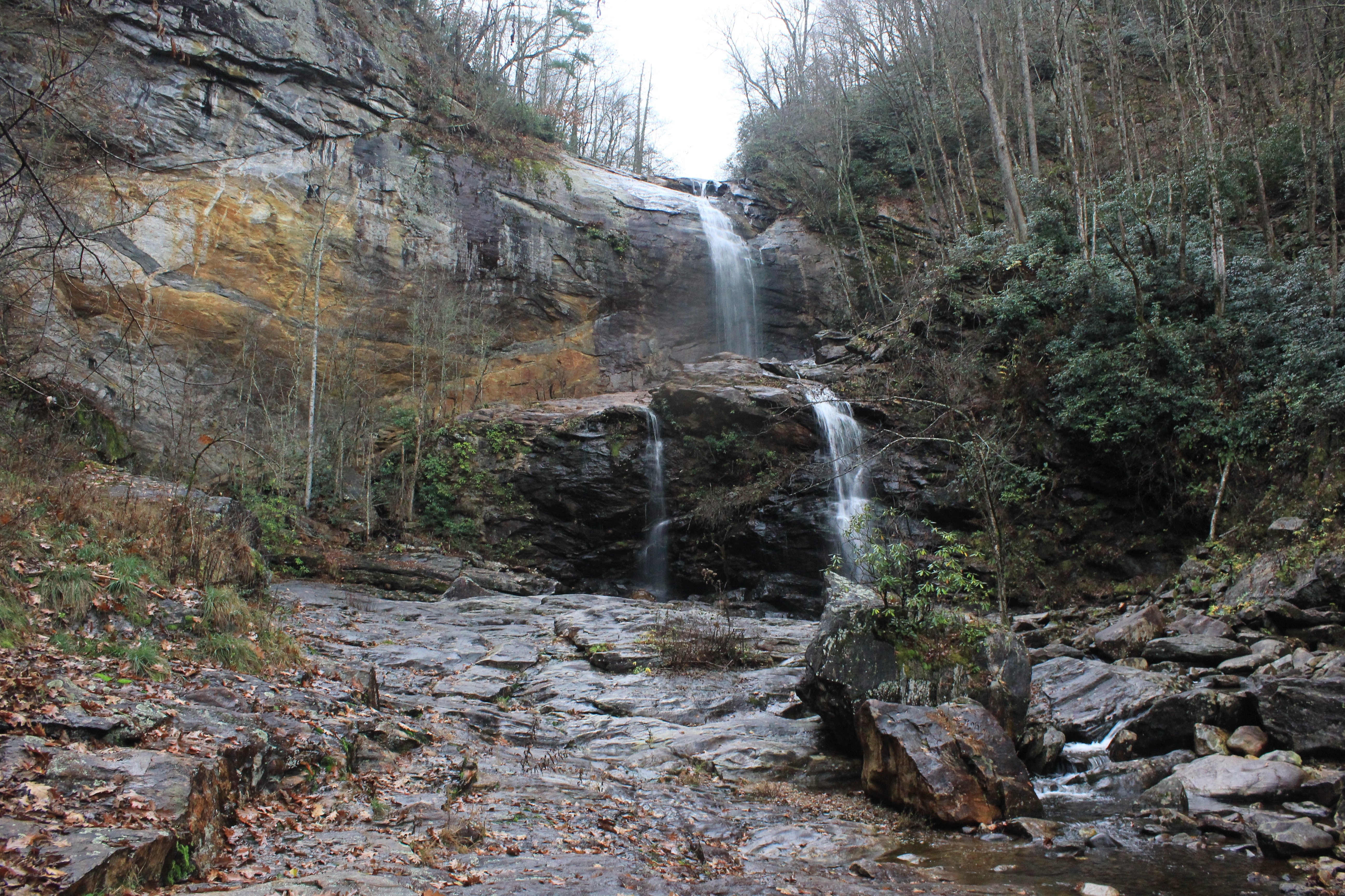
The locals call it Cullowhee Falls but some folks call it High Falls; whatever you call it, the hike in is around 2 miles to this 150’ waterfall downstream from Glenville Dam. Water flows here year-round, so there’s always a waterfall, but on days when the dam releases water it’s mighty impressive. On the hike in you’ll follow a well-maintained trail and pass Thurston Hatcher Falls, a 30’ plunge and cascade. To reach the true base of Cullowhee Falls requires a few rock scrambles, but nothing too challenging.
[divider]about the author[/divider]
 Jason Frye is a travel writer and author of Moon North Carolina, Moon North Carolina Coast, Moon Blue Ridge Parkway Road Trips, and is hard at work on a guidebook to Great Smoky Mountains National Park. His stories and photos have appeared in Our State, Salt, and Thrillist, and is forthcoming in Southern Living Follow him on Instagram: @beardedwriter.
Related Articles:
