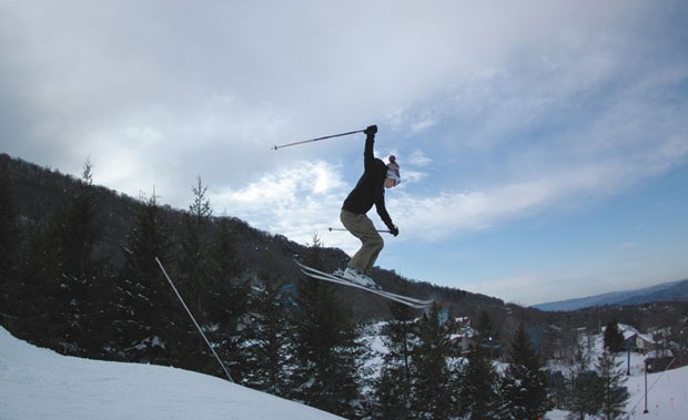
Skiers in the South could soon be busting air on the slopes.
Well, its official. Hurricane Sandy is here and rocking the East Coast. What seemed to be unprecedented media coverage has apparently come to fruition. Perhaps the hype is real after all. Our thoughts are with those in the path of the storm. Stay safe out there.
Sandy may be battering the Atlantic seaboard with wind, rain, and storm surge, but travel a little further inland and this storm has a silver lining for those in the Blue Ridge: early season snow. While most of New England and the upper Mid-Atlantic is expecting high winds and masses of precipitation, the temperatures will most likely stay in the upper 30s and mid 40s, making snow unlikely. Counter intuitively, move a little further south and you could be looking at record amounts of snow in the Appalachians. As the counter clockwise swirl of Sandy pushes moisture south west toward West Virginia and western North Carolina, the cold temperatures will turn all that precipitation into buckets of snow.
At Snowshoe Mountain and Canaan Valley, weather forecasters are predicting snowfall in the 8-12 inch range, and could be as high as 2-3 feet over Monday, Tuesday, and Wednesday before all is said and done. In North Carolina, the Banner Elk area is reported to be in line for up to 12 inches over the next couple of days. Two ski resorts in the area, Sugar Mountain and Cataloochee Ski Area, have both announced they are going to try and run the lifts on Wednesday. This would be an extraordinarily early opening for both resorts – Sugar’s previous earliest opening was November 5th. While opening on Halloween is still somewhat in doubt – both opening announcements came with a “weather permitting” caveat – just the thought of it is reason enough to get excited.
The real issue, as always, is if this snow will have any chance of sticking around for the season. Following Sandy’s eventual burn out, temperatures are due to rise back to their usual levels. There is a good possibility this snow will melt off before there is a chance to take advantage of it. If it remains cold at high elevations, and this early season snowfall turns into a reliable base, we could be looking at a long season with reliable coverage, something that was sorely missing from last winter’s ski season.
We’ll be keeping an eye on the sky and the snowfall as it piles up at local resorts. Here is a link to some area webcams to keep up with the accumulation.
Let us know what the weather is doing where you are in the comments below.


