Consider this: it takes somewhere in the vicinity of 338 gallons of water to produce one three-ounce serving of beef. That one-gallon jug of milk in your fridge? More than 880 gallons of water were needed to yield that. And every gallon of gasoline pumped into your car takes 13 times that in water.
With the world’s population expected to reach 9.7 billion by 2050, these staggering statistics have some like Dr. Nicolas Zegre of West Virginia University more than a little concerned. Zegre is an Associate Professor of Forest Hydrology and Director of the university’s Mountain Hydrology Laboratory. He’s also part of a statewide research team working on the Appalachian Freshwater Initiative, a five-year study, funded by the National Science Foundation, dedicated to understanding the various ecological and biological effects of climate change on Appalachia’s rivers and streams.
Zegre’s understanding of the region’s watersheds goes well beyond his academic stature. When I first met Zegre, who also serves on the Board of Directors for Friends of the Cheat, he was clad in a t-shirt and flip-flops, his board shorts still damp from a day on the Big Sandy. In the setting of Cheat Fest, Zegre was relaxed and joking. His smile, genuine, the type of shit-eating grin that says, “I stomped Wonder Falls today.”
But Zegre’s message is serious, the future of Appalachia’s watersheds no laughing matter.
“We use water for every element of our western life by 21st century expectations, from food production to textiles, petrochemical, as well as energy. We all know it, but society seems to forget it,” he says. “Water is important for everyone and every organism at every scale.”
The study is still in its early stages, but the findings thus far are unsettling. In short, Zegre and his colleagues predict a one- to two-degree increase in air temperature over the next 100 years, which translates to a 10 percent increase in precipitation or a 40 percent increase in stream flow.

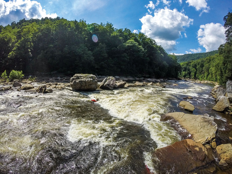
For drought-stricken states like Georgia and Alabama in the Southeast, or Colorado and California farther west, a 40 percent increase in stream flow may not sound so bad. In fact, it might even be a welcome change. But in an area like the Cheat River Basin in West Virginia, where annual rainfall averages around 58 inches per year, a 40 percent increase in stream flow would wreak absolute havoc.
“That’s a tremendous amount of water,” Zegre says. “Throughout the U.S., about 80 percent of our infrastructure, our bridges, our culverts, our dams, are in disrepair and vulnerable to climate change. Our cities, our towns, our roads, our railway networks, our water treatment facilities are all along river corridors because of our topography.”
What’s more, Zegre says, our civil infrastructure is designed based on historic climate and stream flow conditions, not future models. So when 10 inches of rain dumped on West Virginia this past June, killing 24 people in the floods and stranding hundreds more, the ensuing damage to bridges and roads and communities came as little surprise to Zegre.
“We don’t know exactly how the future is going to unfold,” he says, “but what happened in West Virginia is in line with our expectation of how the future would look.”
A Drier Chattooga
For parts of Appalachia like West Virginia and western North Carolina, that future is certainly going to be wetter, with water likely coming in the form of more frequent and higher intensity storms, but for other areas in the Southeast, a warmer climate will only exaggerate already-dry conditions.
That fact alone has Chattooga Conservancy’s Executive Director Nicole Hayler fearful of the changes her beloved 190,000-acre watershed may see. In the 35 years she’s lived in and around the Chattooga, Hayler helped defeat proposals for theme parks and Verizon Wireless cell phone towers within Chattooga’s Wild and Scenic River Corridor, rallied locals to protect tracts of land near the Chattooga’s headwaters and tributaries from development, and held the Forest Service accountable for the impacts of timber harvesting and road construction on water quality.
But in the past eight years, Hayler has become increasingly aware of the Chattooga watershed’s sensitivity. In times of drought, the normally splendid displays of blooming rhododendron diminish. The wild blackberry crops, and the black bears that depend on them, suffer. And the hemlock trees shading the riverbanks wither away, either from thirst or the wooly adelgid or both.
“The Chattooga is a tremendous refuge for a wide variety of plants and animals. This region is known as the Salamander Capital of the World,” Hayler says. “A warmer climate with less precipitation would have an across-the-board negative effect when you talk about an area that has been historically a temperate rainforest.”
The Plethodontid salamander, more commonly known as the lungless salamander, is one of the species that would be particularly hard hit. The lungless salamander is unique in that it draws oxygen through its skin, which must be kept moist in order to respire. Should the forest floor dry up, so, too, would this rare species of salamander.
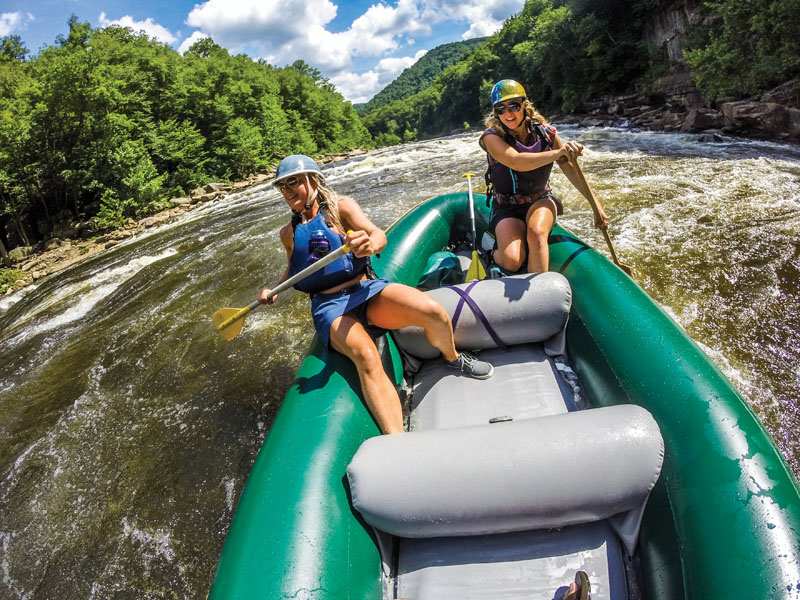
As for the commercial rafting companies that utilize the Chattooga River, the implications of a warmer climate and a drier season are equally detrimental. Already Hayler has seen a decrease in rafting, particularly during dry spells.
“They’ll go to pretty low water levels, but one year I remember the rafting companies actually cancelled their trips,” she says. “It got to the point you couldn’t even float the river in a rubber raft because you just got stuck on rocks.”
A 2003 study published by the National Park Service on the use and economic importance of the Chattooga River estimates that, in the year 2002 (a drought year for the Southeast), paddlers alone pumped more than $2.6 million into the rural communities surrounding the Chattooga. That’s not including the equestrians, hikers, mountain bikers, and anglers who frequent the river. And for an area that largely depends on agriculture for its revenue, a dry season would hurt more than just the recreation.
“They’re already starting to cut back on hours of releases,” says Leland Davis, author of numerous whitewater guidebooks, most notably The River Gypsies’ Guide to North America.
In Davis’ two decades of living and paddling throughout western North Carolina, he’s seen everything from tropical storms to record droughts, but within the past five years especially, he says the spring weather has become volatile at best.
“I taught creeking clinics down here for years, but you just can’t do that anymore. You can’t even schedule any more,” he says. “You used to be able to predict when the wet season was going to happen. Now, when it gets wet, it gets really super wet, and when it gets dry, it gets really super dry.”
During one such dry spell this past summer, Duke Energy announced in an email that, due to “declining water resources,” it would be releasing 50 fewer cubic feet per second (cfs) during each of the Nantahala’s recreational releases. It seems minor, and it is, but when Nantahala Lake’s level failed to recover, Duke started cutting not just cfs, but hours of release time. Rafting companies weren’t sure which was worse: shortening the release hours over the course of the week or forfeit an entire day of recreational release, and thereby, business?
Trout Troubles
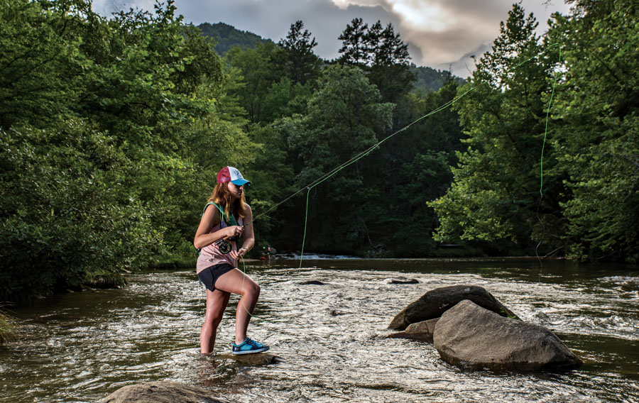
These types of difficult decisions are only expected to increase as a warming climate continues to take its toll on watersheds and the industries, including recreation, that rely on water. Take Appalachia’s native brook trout, for example. By nature, the species requires aerated, cold water to thrive. So what would a one- or two-degree increase in air temperature mean for brookies and anglers? “Most of the larger water bodies are right at a breaking point for brook trout success,” says Dr. Todd Petty, Professor of Aquatic Sciences at WVU. “Any warming at all is expected to drive fish deeper and deeper into headwater streams. Even a slight increase in temperature in the larger rivers, which are going to be the dominant recreational asset, can have a really significant negative effect on the fishery.”
In the past century, this quintessential Appalachian fish species has had to battle the consequences of deforestation, acid precipitation, and overfishing. Now, the brookies are up against warming temperatures in a region largely fragmented by culverts and dams and other dispersal barriers, which make retreating to colder headwaters extremely problematic, if not altogether impossible.
“Over time, we’ve seen more and more brook trout populations become completely isolated because they’re essentially living in an island, a small, disconnected stream-island,” Petty says. “We’re focused on figuring out how to reconnect some of these isolated populations so they can persist even as the climate does change.”
In 2014, The Nature Conservancy released a study by Dr. Mark Anderson that pinpointed areas of high resiliency in the Southeast, places where native species may very well be able to persist, if not thrive, despite a warming atmosphere. According to Anderson, an area was deemed more resilient on the basis of its diversity in climate and topography, as well as its connectivity to other landscapes. At the heart of these climate change strongholds is central Appalachia.
“Central Appalachia is probably the place that has the most micro-climate diversity packed into a pretty connected landscape,” Anderson says. “In a single landscape, you can find temperature differences of 10-20 degrees on a really hot, south-facing slope versus a moist, tucked-in cove on a north-facing slope.”
This, says Anderson, makes areas like Mount Porte Crayon in West Virginia’s highlands and Warm Springs Mountains in Virginia’s George Washington National Forest extremely important from a conservation standpoint. Given the room to roam, sensitive native species may be able to sustain their populations in these micro-climates. The challenge now is protecting those areas and creating corridors by which species can access these refuges.
“The analogy we use is ‘conserving nature’s stage,’” Anderson says. “Actors and actresses come and go, but if you can keep the stage intact and in good condition, then the play will keep going on even though it changes over time.”
Dams and Drilling
Anderson worries about the number of dams in the region. “Most of our river systems 100 years ago were these huge connected networks like 5,000 miles long. There are none of those left. The longest we have left is 1,000 miles, which is in the Ohio and Allegheny system. Most of our river systems are 25 miles before dams prevent movement, and in a river system, if it’s over-segmented by dams so that things are trapped between a short stretch of river and unable to access more variability, that’s very threatening to that river system.”
The Appalachian landscape is also under threat from energy extraction and development of shale gas and coal resources. “Every map we have shows resilient areas are concentrated in the poorest part of the Appalachians,” says Anderson. “Especially as the coal industry is on the decline and people are looking for new economic incentives, how do we get conservation in there as part of the discussion so there’s really an opportunity to build on the existing resilience of that landscape going forward?”
Zegre is hopeful that recreation tourism can serve as the platform for that conversation, especially in states like West Virginia where natural resource extraction has long dominated the economy.
“We’ve seen an exponential increase in outdoor recreation,” Zegre says, “and when we have more people recreating in outdoor adventures, we have greater stakeholders to protect and support the recreation industry.”
By the year 2020, Zegre and his colleagues with the Appalachian Freshwater Initiative will have completed the study, which will predict stream flow and precipitation in Appalachia, among other things, in the years 2020, 2050, and 2070. The year 2020 will also mark the beginning of the analysis period, during which the team will compare their projections against reality.
Until then, Zegre is working hard to encourage stewardship of Appalachia’s rivers and streams and promote their importance and vulnerability. Be it at the brewpub or on the river, if there’s one thing Zegre wants Appalachians to know, it’s this—Appalachia is not like Vegas.
“What happens locally in these watersheds impacts far more people than just the local people. Water in North Carolina flows to the Gulf of Mexico. Water that flows out of eastern West Virginia flows to D.C. and the Chesapeake. Water is taken for granted in our part of the world because we have an abundance of it, but water is needed to make the fabulous beer coming out of western North Carolina. It’s needed to fly fish. It’s needed to support all aspects of the qualities of life we have as Americans.”


