Two Hikers Try Not to Repeat History in the Tennessee Wilderness
Legend has it that sometime prior to 1925, when fire engulfed a large portion of what is presently the Citico section of the Cherokee National Forest, a hunter named Ebenezer Jeffrey disappeared while chasing his dogs. It is rumored Jeffrey’s final remarks to fellow sportsmen were, “I will find my dogs or end up in Hell!”
Nothing on this crisp spring day suggested that my backpacking party would eventually fall prey to the same dog hobble and saw briers that sealed his fate. Unlike poor Jeffrey, we emerged but did endure a good bit of his Hell.
This wilderness was the only available backpacking venue as Mark Jones and I set off from the Cherohala Skyway in April of last year, during the relatively early days of pandemia. Jeffrey’s Hell trail proved to be a surprisingly pleasant two-mile meander which paralleled the Skyway for the first half until plunging dramatically through an unnamed creek which feeds the headwaters of the South Fork of the Citico River. We intersected the South Fork Citico trail and dropped another 1,600 feet to our campsite, after four miles along the raging bank of this now gurgling river. I ran into an old friend who was wildflower walking the first little bit of trail; she would be the last human we would encounter for several days.
Two days of storm prior to our arrival and a massive hail event altered the landscape and, as my friend Betsy remarked, “Beat up the wildflowers pretty good.” Holes were punched in the leaves of trillium and pink lady slippers as dog hobble swallowed our boots. This ubiquitous plant is named for its ability to cripple canines that dare give chase to a bear. (Little did I know we would eventually be baying like one of Mr. Jeffrey’s hounds as we ripped through this prickly shrub.)
Four hours flowing downhill with this water found us at the big head of the South Fork Citico creek. Waves lapped at drowning rocks and trapped limbs which reached skyward for rescue from precipitation fleeing the holler. This bubbling cauldron needed to simmer and cool before we dared an attempted crossing. Tents got pitched on the sandy shore beneath a fisheye canopy of stars in hopes roaring torrents would ebb by light of dawn.
Waist deep with full packs, our morning obstacle was but 25 soaking yards. Each step threatened to move the unanchored leg and everything attached miles downriver. Mark reached for my hand from the safety of the opposite shore only to fumble a hiking pole, which he miraculously rescued 100 yards downstream. Our goal was to decipher Brush Mountain trail and complete a loop. We could feel those same demons which lured Jeffrey here into this wilderness 95 years ago rubbing their hands together.
This portion of the Cherokee National Forest wasn’t playing nice and rebuffed our initial entry to Brush Mountain. If ever there were a sign pole pointing the way, Jeffrey’s ghost had long since removed it. We over-hiked all the way down to the North Fork Citico trail. Backtracking to a point we reckoned was the right place to re-ford the “creek,” Mark and I were waist deep again, muscling through raging broth, hoping to land at anything which could pass for the Brush Mountain terminus. Dripping from waist to toe, we spied what could be a path and confirmed with compass and map. No marker was found, just a tatter of red tape dangling from a branch.
Guidebooks describe Brush Mountain as the least traveled passage in the combined Citico-Slickrock Wilderness, and we were beginning to realize why. A retired logging canal ceded to a series of labyrinthine blowdowns. Brush was an apt descriptor of the voluminous detritus dodged. Narrowing banks crested alongside Ike Branch as we crawled on aging knees and elbows through dead hemlock and rhododendron that ensnared our backpacks and whipped us backwards like Wil E. Coyote from an Acme trap. Our naïve plan involved gaining the top of Brush Mountain and connecting eventually back to our starting point on Jeffrey’s Hell trail. Sometimes, as this area’s loggers obviously discovered, the path of least resistance is through the creek.
Dancing back and forth across Ike branch, we chased one dead end after another. Our only company were grouse and snakes; I was beginning to tire of the latter. It was a sunny, crisp afternoon but we had now ascended well beyond the headwater of this drainage. Our map showed Brush Mountain dog-legging at the head of Ike Branch, so that is precisely what we did.
Sliding uphill now where loose rock replaced water, but a furtive glance from Mark confirmed my increasing fear. Bushwhacking now felt more like location scouting for a Discovery Channel herpetologist drop. Glistening stones were ringed with patches of saw brier concertina wire. If either of us stared down a rattler, there would have been no escape but to take the bite.
‘Know Where We Are’
Mark was a great companion for this adventure. At 66 years old, his lifetime fitness made him a stalwart partner for this unexpected travail. Pulling up 35-degree slopes, our intent was to gain the ridge saddle and orient from there. Five hours since breaking camp that morning, the only solid decision we made that day was to load up on water atop Ike Branch. Cresting this prominence, our hopes for an El Dorado vaporized. No magic passages emerged. The only geographic certainty was that we had summited the “Back of beyond.”
Prominent Ike’s Peak was not where it was supposed to be on our map. But the glistening spire whispered to intimate where we had gone and followed Jeffrey’s dogs up the holler. Of the two branches that comprise Ike’s headwaters, we hooked the far left one. In the mountaineering world they say that the word bivouac is French for “mistake.” Any time it enters my brain, that is precisely what has happened. Mark’s continued good nature mirrored my perpetual misguided optimism. Had the phrase, “I think I’m on a trail” been a drinking game, both of us would have been hammered. We moved in the direction of Ike’s Peak in hopes of reaching the right fork of Ike’s Branch. We had now ascended more than two thousand feet off trail with full packs in what amounts to the heart of Jeffrey’s Hell. (I would later discover that we were standing exactly on the R part of Jeffrey’s name stretched across the USGS map).
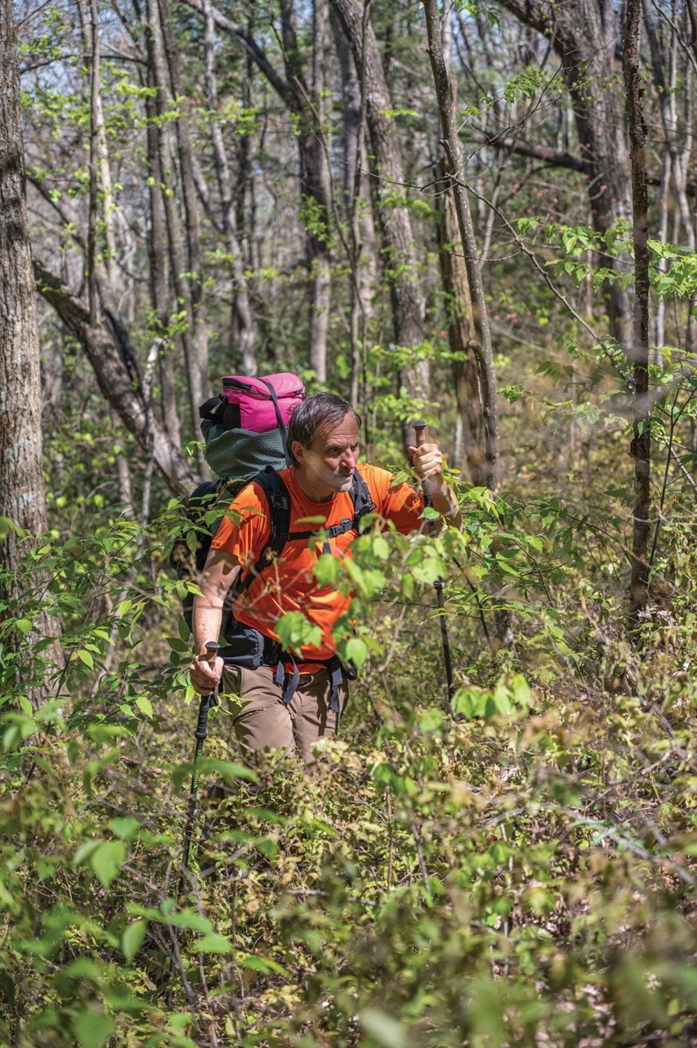
Late afternoon sun filtered through early budding hardwoods at 3,200 feet deep in the Cherokee National Forest. My bare legs were slashed by a thousand razors and our bleeding arms were clotting with the assistance of Tennessee dirt. Mark crawled up to me dripping sweat but sporting a smile. I was fortunate to have him alongside. If we never escaped, our bodies would remain unfound. Like Jeffrey, we could easily become permanent additions to this hell. Minus cell phone service I secretly wondered how that headline would read.
Straddling a col, we trudged west toward the South Fork of Citico. A game trail was now our only hope and we plodded through as it fell dramatically to the headwaters of an unnamed creek. Here we paused to rehydrate and collectively (Thelma and Louise style) commit to this drainage wherever it deposited. One mile downstream (dangling from rhododendron branches in places our feet didn’t graze the ground), we stumbled upon the remains of a primitive campsite that appeared unused since the 70s. Pull top beer cans, a rusting grill, and stacked stones suggested there must have been access via one of the old forest roads at some time prior to this area’s wilderness designation in 1984. The only thing missing was Burt Reynolds in a muscle shirt with a recurved bow. It was heartening, nonetheless, as we slid, crawled, and swung our way precipitously down toward larger water.
Mark would flash sideways through laurel like a speckled trout on one side of the brook as I parsed the other chasing mirages. Islands between suggested faint signs of game traffic. I rolled along the left bank chasing raw openings. It was 5 p.m. when I proclaimed with relative certainty to my accomplice across the deafening spray, “I’m on a trail.” It may have been the ghost of Jeffrey’s hounds that put me on canine-like tracks in widening soil. The relief of being able to walk upright with our full packs was a sensation I knew better than to embrace as we faced a burgeoning hedgerow of hemlock fall. Mark said, “I know where we are.” Too tired to stop and engage him, it was apparent we had looped back around to the actual beginning of Brush Mountain trail from which this misadventure had sprung some eight hours prior.
Wispy clouds advanced and sealed the decision to make our second shoreside camp. Smoke rose from our solitary compound deep in the backcountry as we drifted off, scheming of ways to make but one river wade the next day. Mark confessed his nightmare about that heavy crossing we swam earlier that long ago morning. He consulted his map and suggested that we somehow work our way back to the first campsite and forgo that second dangerous crossing. At 6 a.m., following some light rain on our tents, dawn light pulled us once more waist deep into the creek. Citico required no poles nor limb for sacrifice this April morn. We slogged approximately one mile to that dreaded crossing spot from the day before. Figuring we endured enough of Jeffrey’s Hell, Mark’s revised plan had us exiting via the Grassy Branch instead of re-hiking six miles back up to Ebenezer’s namesake trail. Pulling rhodo limbs and surfing through dog hobble as before, we chased several faint paths, none of which petered out.

It was a Hail Mary call. Spying our first campsite from what felt like a week ago across the powerful and seemingly unabated Citico creek, we unfolded our dog-eared map and focused on a slit, gambling it would wind toward the Skyway. Eagle branch demanded eight hoppings and wet our marginally dry second pairs of socks. It was as if to escape Jeffrey’s Hell, we had to slither out the back door. Two miles hence, we gained ground through a magnificent series of decreasing waterfalls. We had reached Grassy branch; the elevation was right, the compass heading was accurate. Successful escape from Jeffrey’s Hell was becoming real. Neither of us cared if the car was still miles away.
Four miles and 1,500 feet higher, sun glistened from metal guardrails. Soaked feet and ripped flesh were quickly forgotten. Strong winds now gusted across the forest and Skyway in advance of another spring storm. We debated who should make the pack-less ascent back up to Rattlesnake Gap and the vehicle. A couple from Michigan was gracious enough to collect me halfway up the parkway after one mile of roadway climbing. I must have startled them, bedraggled, dripping, and plastered in mud. Subsequent map review confirmed that we had made a loop off trail with full packs through the very heart of Jeffrey’s Hell. In me, an apparition of Ebenezer Jeffrey emerged from the Cherokee wilderness. Unlike poor Ebenezer, we would leave with our dogs, wet and blistered though they were, and barking well into the next couple of nights.
GettingThere: From Tellico Plains, take TN Hwy 165 east approximately 18 miles until you reach the Rattlesnake Rock West pull-off which is the parking area for Falls Branch as well as Jeffery’s Hell trail #196.
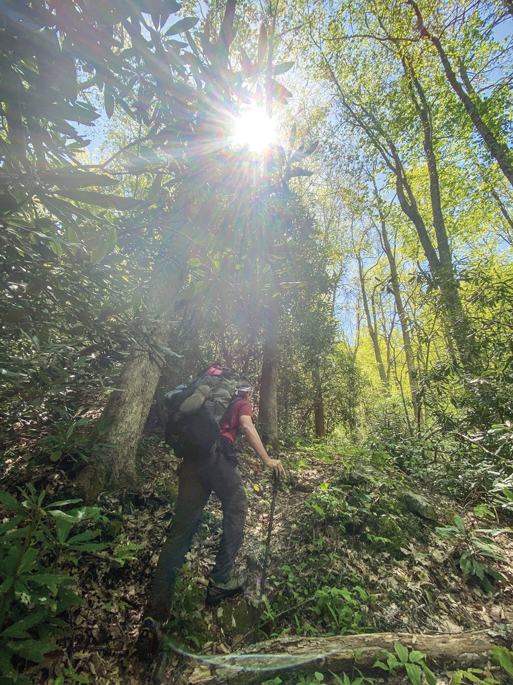
Cover photo: The author hikes off-trail in the Citico drainage. Photo by Seth Dortch


