Ready to make the leap from casual hiker to full-on backpacker? The Blue Ridge is full of accessible escapes that are just remote enough for first forays into backcountry overnights. From spruce groves in the mountains to isolated wetlands near the coast, here are a handful of beginner-friendly destinations with easy-to-follow routes and minimal elevation change.
Explore Alpine Meadows at West Virginia’s Spruce Knob-Seneca Creek Backcountry
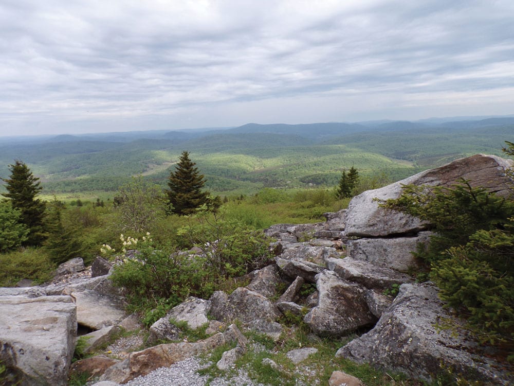
Spread over the flanks of Spruce Mountain, a knob-studded ridgeline in West Virginia’s branch of the Allegheny Mountains, the Spruce Knob-Seneca Creek Backcountry is a wonderland for backpackers. Crowned by 4,863-foot Spruce Knob, the highest peak in the state, the stream-laced swath of backcountry is threaded with more than 60 miles of interconnected trails, winding through upland spruce groves, alpine meadows, and mixed hardwood forests of cherry, birch, and maple.
Where to Go: For a bite-size taste of the backcountry, combine the Seneca Creek Trail and the Judy Springs Trail to craft an out-and-back loaded with spectacular backcountry camping spots. Starting from the Seneca Creek Trailhead on Forest Road 112, about five miles south of Spruce Knob, follow the stream-hugging Seneca Creek Trail for 3.4 miles, until the footpath meets the Judy Springs Trail. Near the trail junction, there’s short spur trail to the rock-encased, natural spring, and then the 0.7-mile Judy Springs Trail peels away into a mountain meadow with plenty of serene spots to stake out for the night. After sunset, listen for the competing calls of barred owls and coyotes.
See the Stars at Sky Meadows State Park
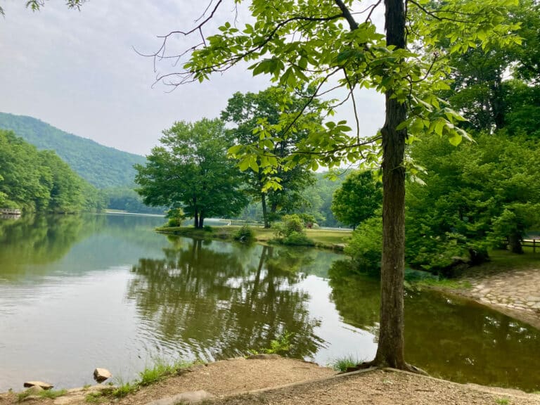
Anchored by the remains of a colonial farm, Virginia’s Sky Meadows State Park preserves a patchwork of trail-threaded woodlands and pastures in the Crooked Run Valley, just east of the Blue Ridge. Designated an International Dark Sky Park last year, the protected area is an idyllic place to admire the cosmos—and a perfect trip for beginning backpackers. Open year-round, the park’s backcountry campground offers 15 individual campsites, spaced out enough to provide the woodsy mystique of a night in the backcountry. But, it’s not quite roughing it. Water, firewood, and drop toilets are available for backpackers, and the campsites have picnic tables and fire-rings.
Where to Go: From the overnight parking area, it’s only a mile to the backcountry campground, courtesy of a family-friendly trek along the Hadow Trail, through a meadow popular with eastern bluebirds and pipevine swallowtails. Longer loops are possible too. In total, the park offers 22 miles of trails, including a 2.3-mile stretch of the Appalachian Trail that winds along a leafy ridgeline tracing the protected area’s northern edge.
Search for Streams at South Mountains State Park
Situated in an ecologically rich transitional belt between the Carolina Piedmont and the Blue Ridge, North Carolina’s South Mountains State Park is a wonderland for new backpackers. The largest state park in North Carolina, the protected area is overshadowed by the knobby peaks of the South Mountains and laced with trout streams that tumble into waterfalls, all showcased along a 49-mile trail network. And, for backpackers, there are seven different backcountry campgrounds scattered throughout the park.
Where to Go: For a South Mountains sampler, head for the Sawtooth Campground. Combining the Chestnut Knob and Sawtooth trails from the Hemlock Nature Center, it’s a three-mile hike in, offering leafy views of 80-foot High Shoals Falls, along with the option to tack on the 0.2-mile spur trail to the Chestnut Knob Overlook for expansive vistas of the Jacob Fork Gorge. While water isn’t accessible, the grassy campsites do feature fire-rings and tables.

Find Coastal Isolation at False Cape State Park
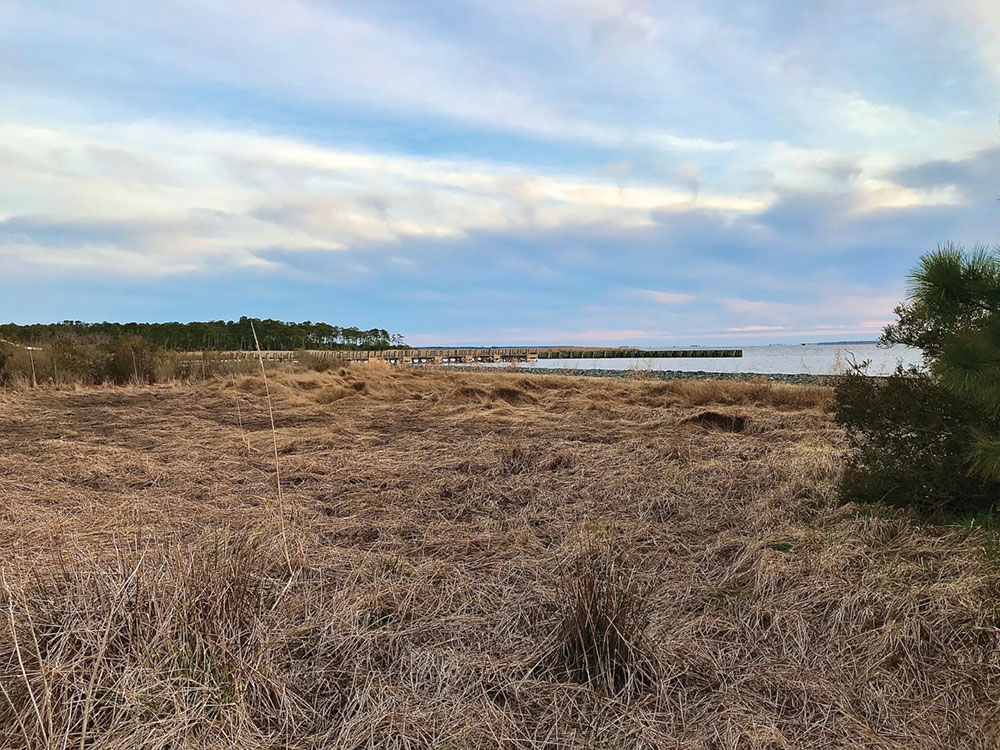
Covering a mile-wide spit of sand wedged between the waters of Back Bay and the Atlantic Ocean, False Cape State Park might just be the most remote state park in Virginia. Bearing a resemblance to nearby Cape Henry, the isthmus once had a deadly propensity for luring sailors into the shallows, earning the nickname False Cape. Today, the ribbon of coastline still feels wild. Although a seasonal tram operates from April to September, the park is only accessible by foot, bike, or boat. Reaching the protected area also requires a traverse of the adjacent Back Bay National Wildlife Refuge (NWR), a wetland-studded sanctuary for migratory birds. Still, with four backcountry campgrounds offering bayside and surfside spots, along with water taps and toilets, the isolated park is a manageable trip for less-experienced backpackers.
Where to Go: For an easy-to-navigate overnight, park at the Little Island Park, just outside the Back Bay NWR, and head for the dune-cradled Barbour Hill Campground, close enough to the ocean to fall asleep to crashing surf. There are two trails through the refuge, but to give wintering birds space, these inland routes are closed November 1 to March 31, so backpackers must hike along the beach. In total, it’s a 6.9-mile hike to the Barbour Hill Campground along the refuge trails, and a 5.7-mile slog going the beach route; just remember, it’s easier to walk during low tide on packed sand.

Go Long at Big South Fork
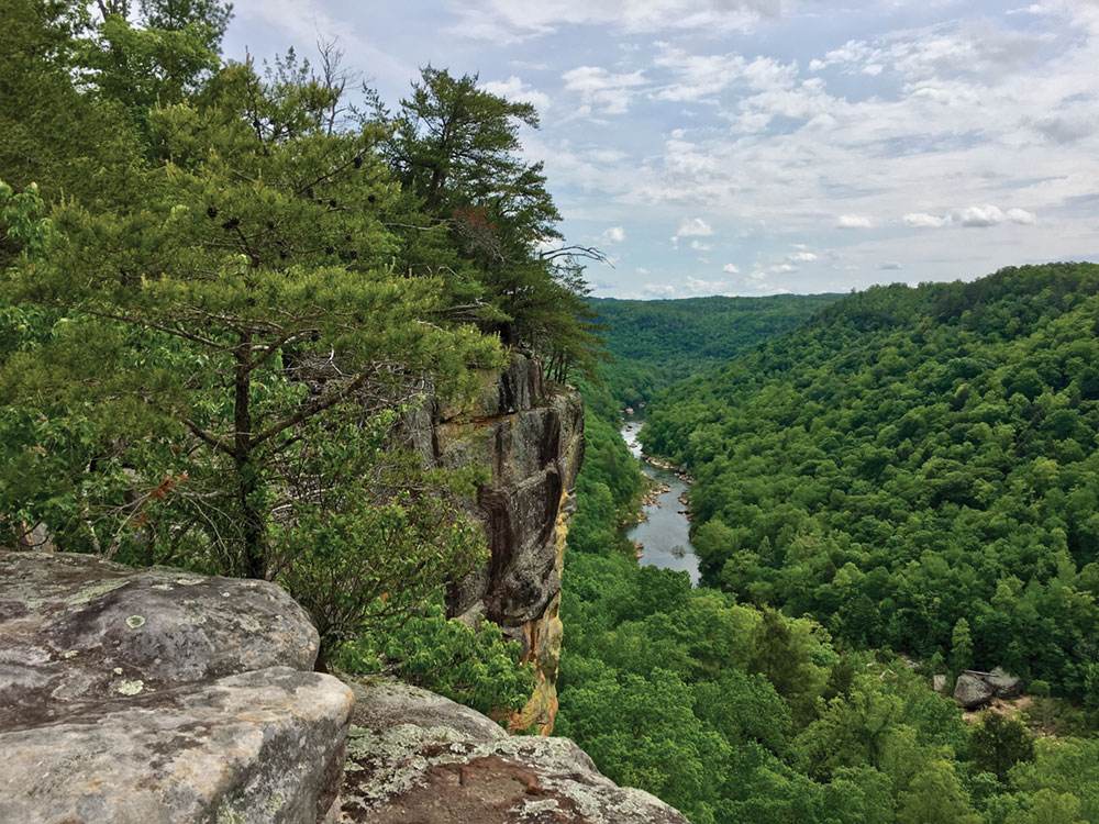
Shared by Kentucky and Tennessee, the Big South Fork National Recreation Area covers a historic swath of the Cumberland Plateau, preserving a river-sculpted landscape shaped by prehistoric hunter-gathers, wide-ranging Cherokee, colonial homesteaders, and coal miners. Today, with long-distance footpaths like the Sheltowee Trace and the John Muir Trail, the recreation area has a lot to offer seasoned backcountry travelers. But there’s also plenty for beginner backpackers too.
Where to Go: For a taste of the Big South Fork’s panoramic river views and ancient geological wonders, trek the Grand Gap Loop. Beginning from the trailhead on Alfred Smith Road, the trail weaves through cottony mountain laurel and mixed hardwood forests studded with cavernous rock shelters, and skirts the western edge of the river-threaded gorge at the heart of the recreation area, forming a 6.8-mile loop. While the route has minimal elevation gain, there’s no water along the upland loop, so plan to haul a two-day supply.
Cover photo: Spruce Knob is West Virginia’s highest peak. Photo by Malee Oot


